

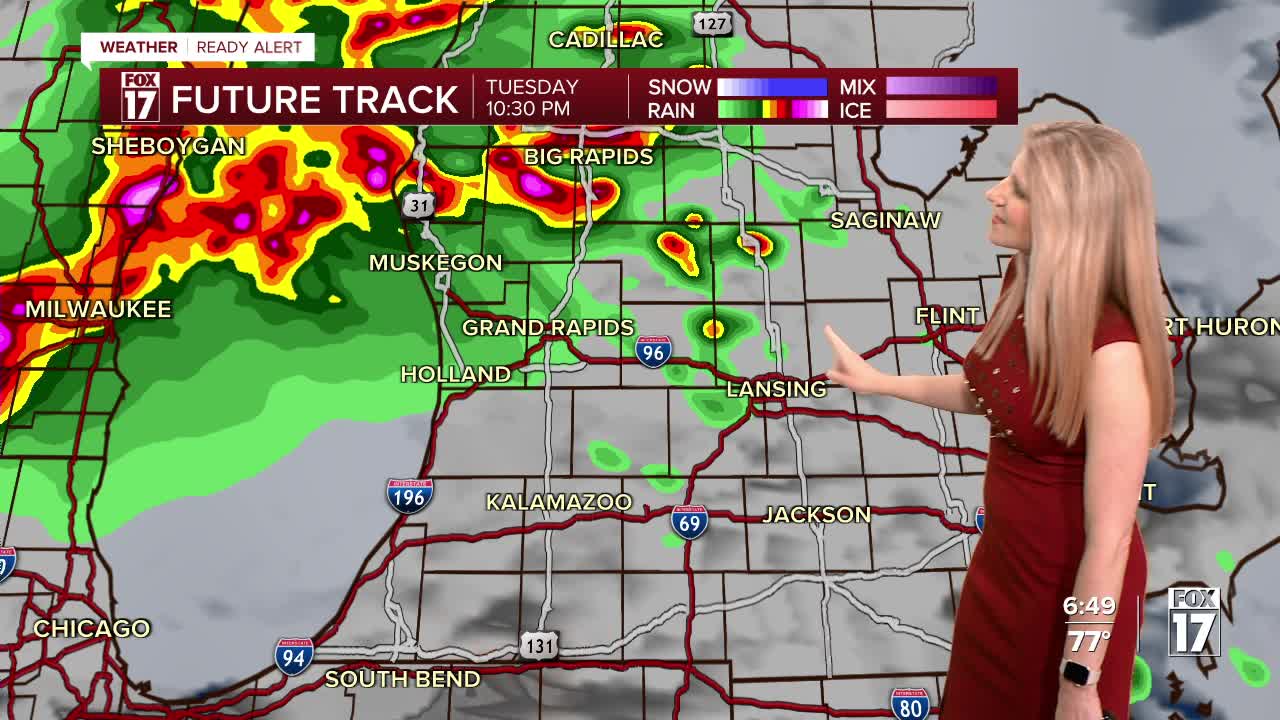


WEST MICHIGAN — FOX 17 has issued a Weather Ready Alert for this evening and overnight due to the risk for severe thunderstorms. While this evening and overnight is the greatest risk for severe weather this week, the next few days will be very active with multiple chances for storms and heavy rain from now through Thursday.
There is a TORNADO WATCH for all of West Michigan until 4 a.m. Storms are also capable of producing damaging wind gusts up to 70 mph and hail 2" or thicker (lime size).
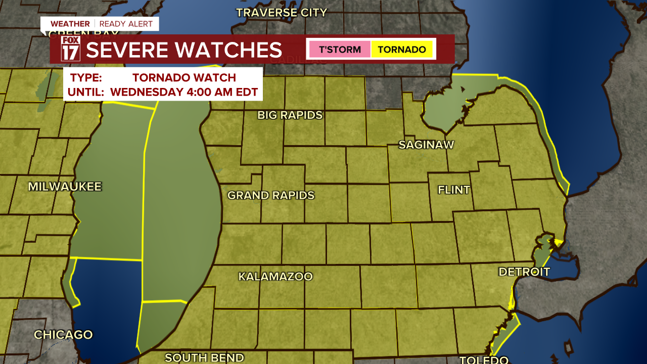
The main time for severe storms is from now through 3 a.m.
The Storm Prediction Center has West Michigan in an ENHANCED RISK (level 3 out of 5) for severe thunderstorms tonight into Wednesday morning. Damaging wind gusts, large hail, a few tornadoes will be the threats.

Take a look at the severe wind threat below. Gusts of 60 to 70 mph are possible within the strongest storms overnight.

Take a look at the tornado threat below. Tornadoes are not the primary threat, but spin in the atmosphere is higher today than it was yesterday. Brief spin-up tornadoes within a line of gutsty winds are possible especially after 10 p.m., or if any storms are able to form on their own ahead of the line. Make sure you and your family have a safe place to go in the event a tornado warning is issued.

Take a look at the hail threat below. Hail quarter size to golf ball size could be possible within the strongest storms, primarily overnight.

TIMING:
Initially storms will have an elevated hail threat in addition to heavy rain and gusty winds.

A line of gusty thunderstorms will move in around midnight, with embedded circulations possible. Torrential downpours are expected with all of the storms, severe or not.

The line will move through West Michigan, exiting around 3 a.m. Lingering heavy rain is expected behind the line of severe storms, increasing the flood risk overnight.

Showers continue through the early morning, which may impact your morning commute.

More rain and thunderstorms are expected on Wednesday, with West Michigan now under a marginal risk (level 1 out of 5) for severe storms. See the outlook below.

Many areas in West Michigan will see at least 2 - 3 inches of rain this week which will likely lead to more river flooding. Previously just in our northern counties, The National Weather Service has now expanded the Flood Watch across much of West Michigan, in effect through early Friday.

Here is a look at how much rain will fall over the next five days.

Want alerts when inconvenient or severe weather is headed your way? Download the FOX 17 Weather app and set up notifications for where you live.
For the latest details on the weather in West Michigan, head to the FOX 17 Weather page.
This week will also very warm and humid. High temperatures will be in the 70s through at least Friday, with another chance for severe thunderstorms Saturday. A cool down is expected by Sunday, dropping into the 40s.
Stay with the FOX 17 Weather Ready Team for more updates in the days to come.
Follow FOX 17: Facebook - X (formerly Twitter) - Instagram - YouTube
