


WEST MICHIGAN — The forecast from FOX 17 Meteorologist Reece Cole: Tonight we will stay mostly dry with cloudy conditions, but a few sprinkles can't be ruled out between Saturday evening and Christmas morning. Temperarures will remain very mild, too, with overnight lows in the mid 40s and highs in the middle 50s through December 26. Expect more widespread rain on Christmas Day in the afternoon, continuing into Tuesday. This will be the 3rd Christmas in the last 5 years without fresh snowfall or snowpack! Holiday travel conditions will be in good shape for the entire state. By the end of next week, temperatures begin to drop. Colder air will set off the lake effect snow machine for next week on Thursday and Friday. Make sure to stay up on later forecasts.
TONIGHT: Mostly cloudy skies, an isolated shower is possible. Low temperatures fall to the lower 40s. Winds southeast at 5 to 10 mph.
CHRISTMAS EVE / SUNDAY: Mostly cloudy. Stray shower or sprinkles possible. Highs in the lower 50s. Winds southeast at 5 to 10 mph.
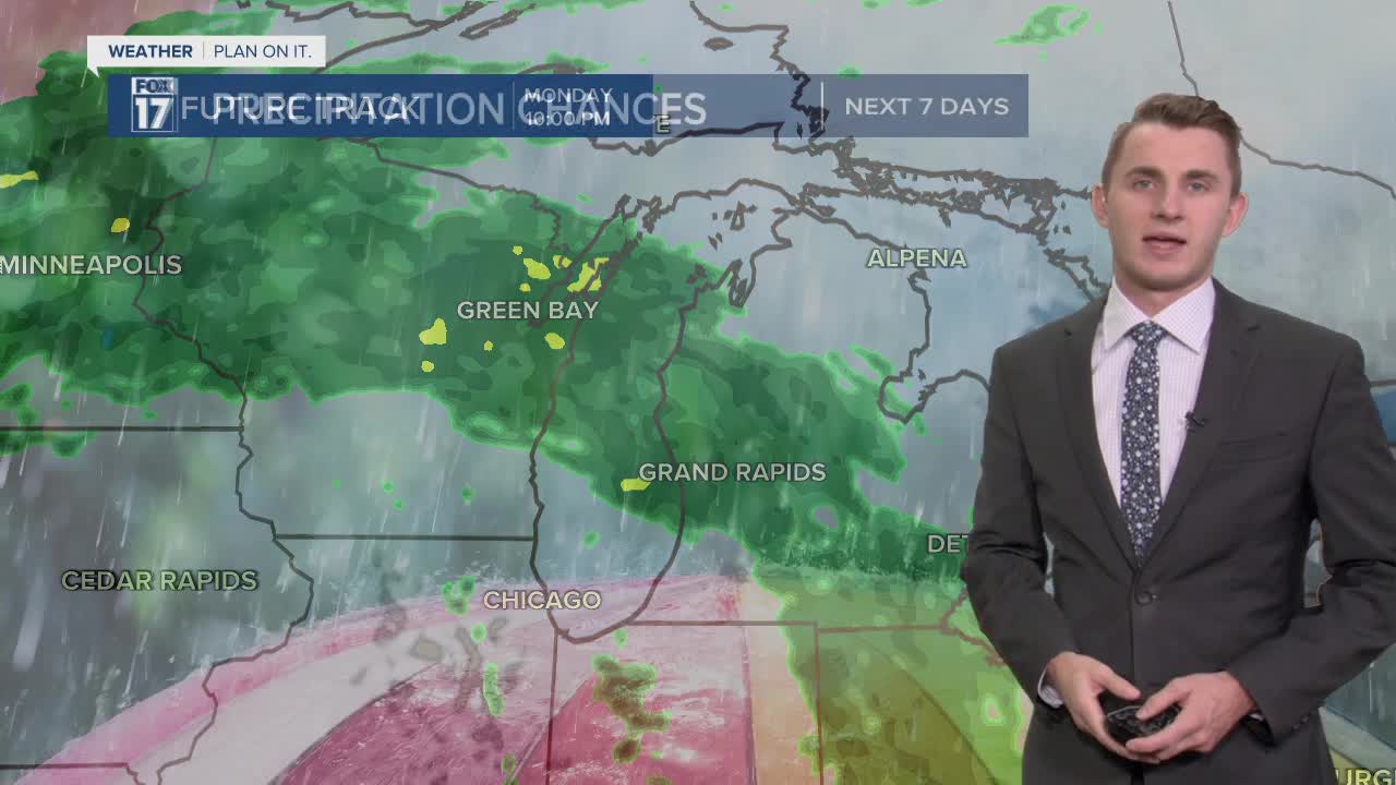
CHRISTMAS DAY / MONDAY: Mostly cloudy with scattered rain showers. It becoming more likely in the evening and overnight hours. Unseasonably warm! Highs in the mid 50s. Breezy conditions, winds between 15 to 30 mph.
TUESDAY: Mostly cloudy with rain showers likely. Highs near 50 degrees.
WEDNESDAY: Mostly cloudy with scattered rain showers. Still mild. Highs in the mid 40s.
THURSDAY: Mostly cloudy with a chance of rain/snow showers. Highs in the lower 40s.
For the latest details on the weather in West Michigan, head to the FOX 17 Weather page.
