

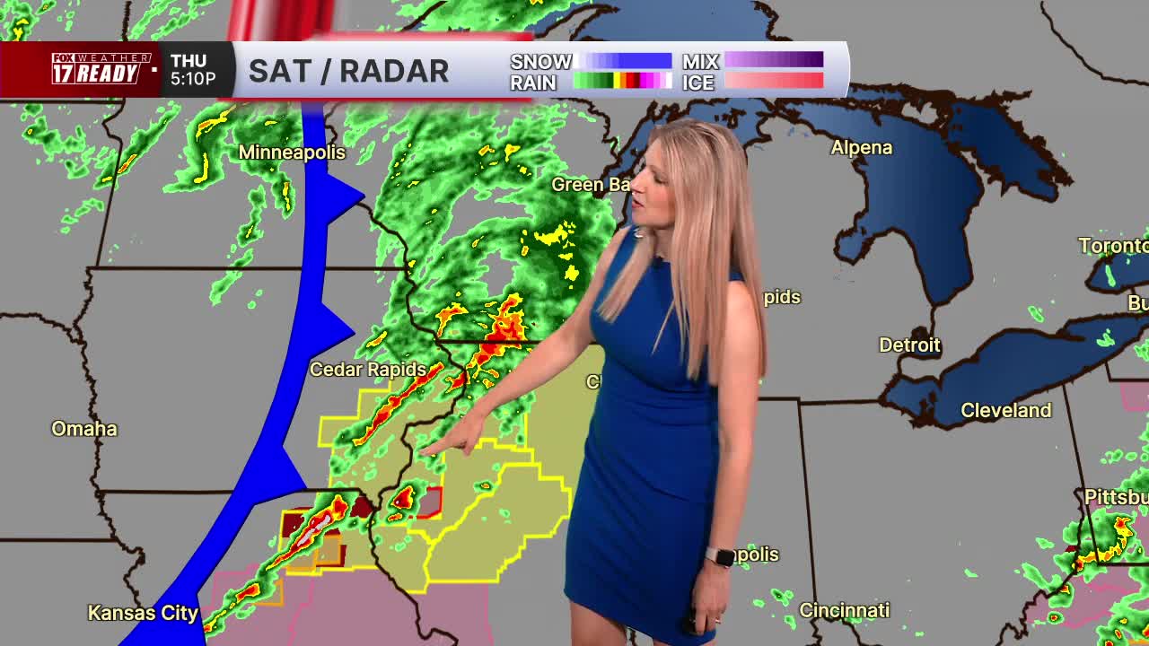


WEST MICHIGAN — FOX 17 has continued the Weather Ready Alert for today, June 11 as another line of gusty storms approaches this evening, with the threat of damaging winds.
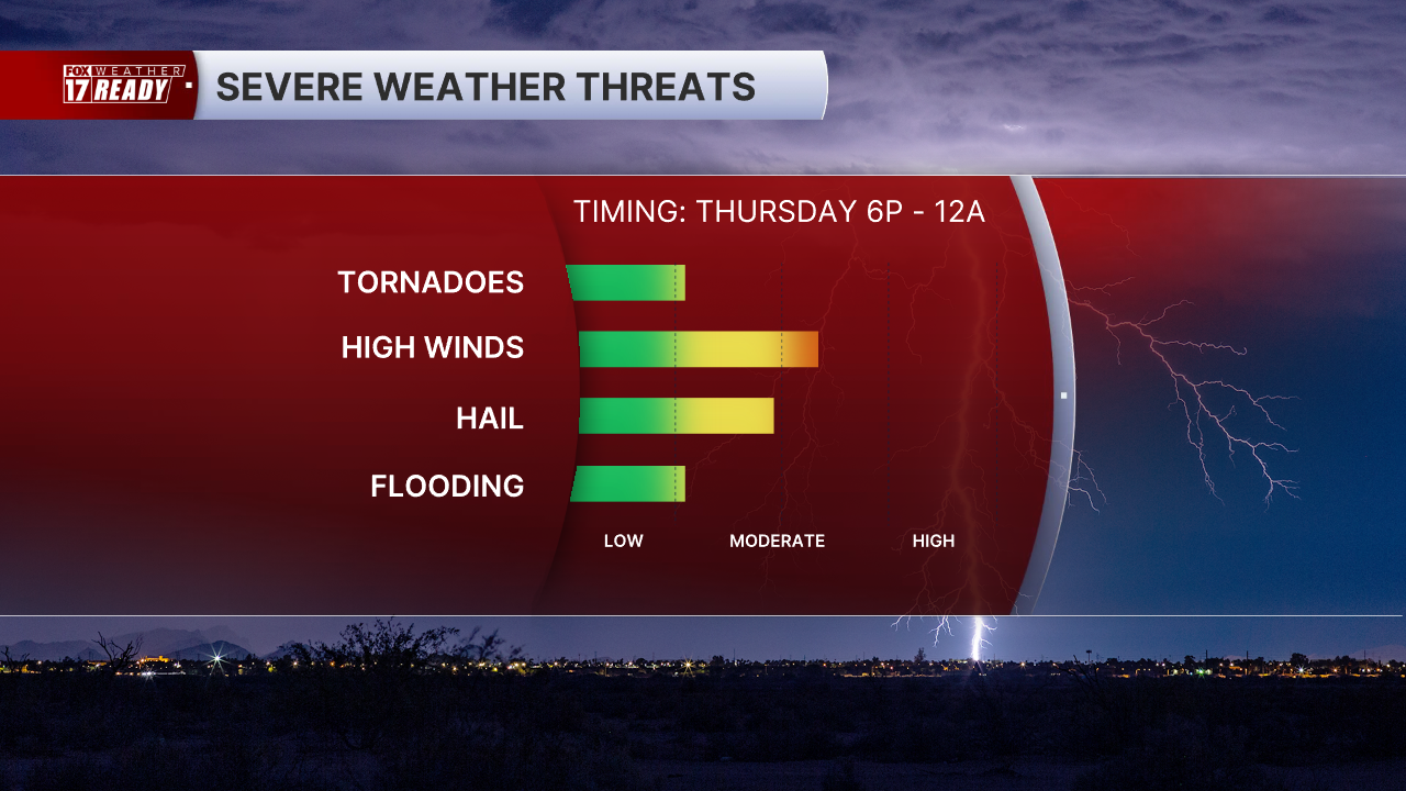
West Michigan is under an Enhanced Risk (level 3 out of 5) for severe weather today. The time frame we will be watching for strong storms to move in is from around 8 PM to 12 AM. All hazards will be possible with this round: damaging winds 60+ mph (main threat), large hail, flooding, and isolated tornadoes.

Make sure that you have multiple ways to receive warnings. This is especially important for overnight weather events, so you can be woken up if any warnings are issued while you're asleep. Discuss your safety plan with your household so everyone knows where to go if a tornado warning is issued.
A quick moving line of storms will approach the lakeshore between 8-9 p.m. Gusty winds will be the main threat but a brief spin-up tornado can't be ruled out. It is worth noting that this model shows a much stronger line than the other model we use at FOX 17.

The line will quickly push across West Michigan this evening, exiting by midnight as the cold front moves through.

Rain and storms should start to wind down after midnight from west to east as a cold front passes through. Behind the front, skies will clear and we dry out for Friday. It will feel a lot more comfortable too, with lower humidity and high temperatures dropping back into the upper 70s near 80.
Cooler conditions will continue through the upcoming weekend and into next week.
Want alerts when inconvenient or severe weather is headed your way? Download the FOX 17 Weather app and set up notifications for where you live.
For the latest details on the weather in West Michigan, head to the FOX 17 Weather page.
Follow FOX 17: Facebook - X (formerly Twitter) - Instagram - YouTube
