

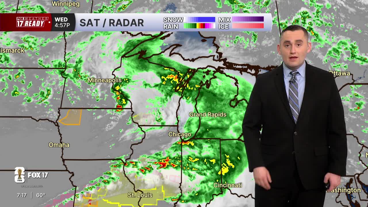



WEST MICHIGAN — The Weather Ready Alert continues through the overnight hours due to the threat of a few severe storms, and isolated heavy downpours that could cause flooding. The risk is lower than it was earlier today, but not zero.
All of West Michigan is included in a MARGINAL RISK (Level 1 out of 5) for isolated severe storms through the overnight. The primary threat are damaging wind gusts and small hail, along with heavy rain. The tornado threat is low but not zero.
A weakening line of storms coming out of Wisconsin could maintain some of its strength as it moves across Lake Michigan for the next few hours, through around midnight to 1 a.m.. This line of storms is the best opportunity for a strong to severe storm in West Michigan.

The line of storms will push through West Michigan and continue to weaken after 1 a.m.

The storms will dump heavy rain as well, which could cause brief ponding on the roads in isolated areas.

By Thursday morning we will be drying out behind the cold front, but scattered light showers are expected on and off through around midday. It will be breezy with northwest wind 10 to 20 mph and highs in the upper 60s.
Want alerts when inconvenient or severe weather is headed your way? Download the FOX 17 Weather app and set up notifications for where you live.
For the latest details on the weather in West Michigan, head to the FOX 17 Weather page.
Follow FOX 17: Facebook - X (formerly Twitter) - Instagram - YouTube
