
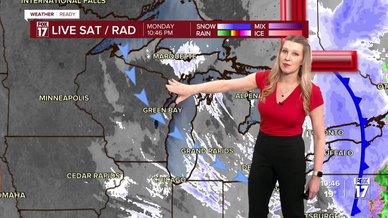


A powerful storm system is impacting the Great Lakes tonight and Tuesday. This system is bringing strong winds, cold air, and accumulating snow to locations along/west of U.S. 131.
Low visibility from blowing snow is likely tonight from these gusty winds, and brief whiteout conditions are possible.
There is a WINTER WEATHER ADVISORY for counties along and west of US-131 through 11 AM Tuesday. Oceana County (in pink) remains under a WINTER STORM WARNING until 11 AM Tuesday. The heaviest snow will likely fall there with about 6" to 10" likely through Tuesday.

Snow amounts will be 2" to 5" with the higher amounts likely near the lakeshore. Slick spots on elevated bridges and overpasses, and secondary roads are possible.
Lake effect snow bands will pull inland, with low visibility and blowing snow within the heaviest bands. Wind chills will be down into the single digits overnight as well.

We expect another inch or two of snow for most of West Michigan through Tuesday afternoon, for a grand total of 2" to 5". Some isolated higher amounts are possible.

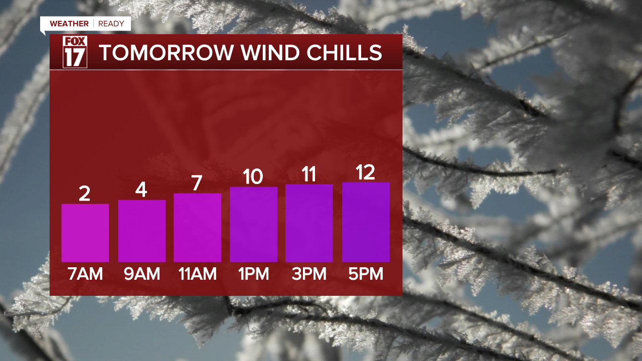
Wind chills will be incredibly cold Tuesday, too. Even though winds will be lower than Monday, wind will still gust 20 to 25 mph. Combined with morning temperatures in the teens and afternoons in the low 20s, wind chills will struggle to hit 10.
For the latest details on the weather in West Michigan, head to the FOX 17 Weather page.
Follow FOX 17: Facebook - X (formerly Twitter) - Instagram - YouTube
