

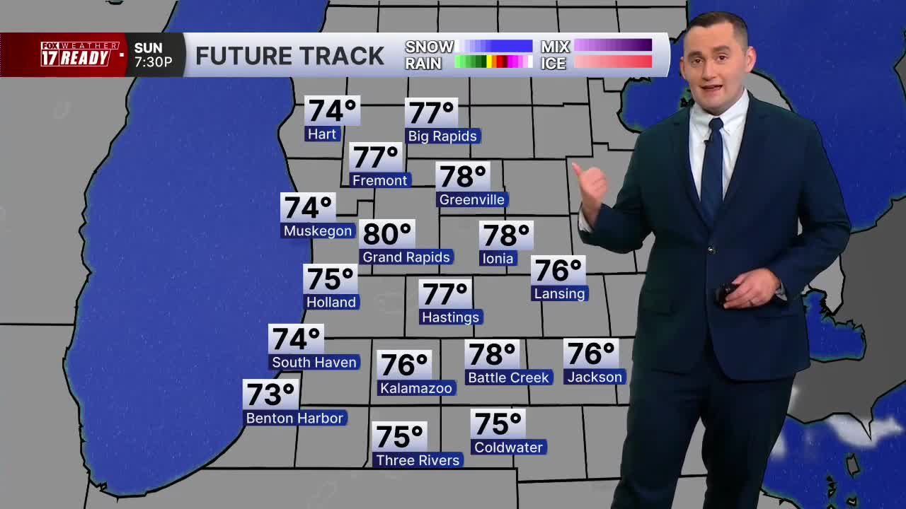


WEST MICHIGAN — A FOX 17 Weather Ready Alert is in place for Monday as there is a chance for severe thunderstorms late in the day.
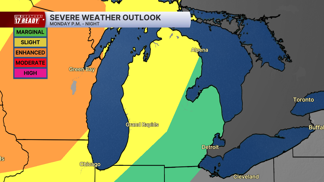
A cold front is forecast to come into West Michigan and this will bring some thunderstorms into west Michigan. Some of these storms could be strong and the Storm Prediction Center has the area highlighted in a level two slight risk for severe storms.
The storm chance is for later in the day. In fact, there will likely not be any rain or storms until after 7 p.m. into the overnight.
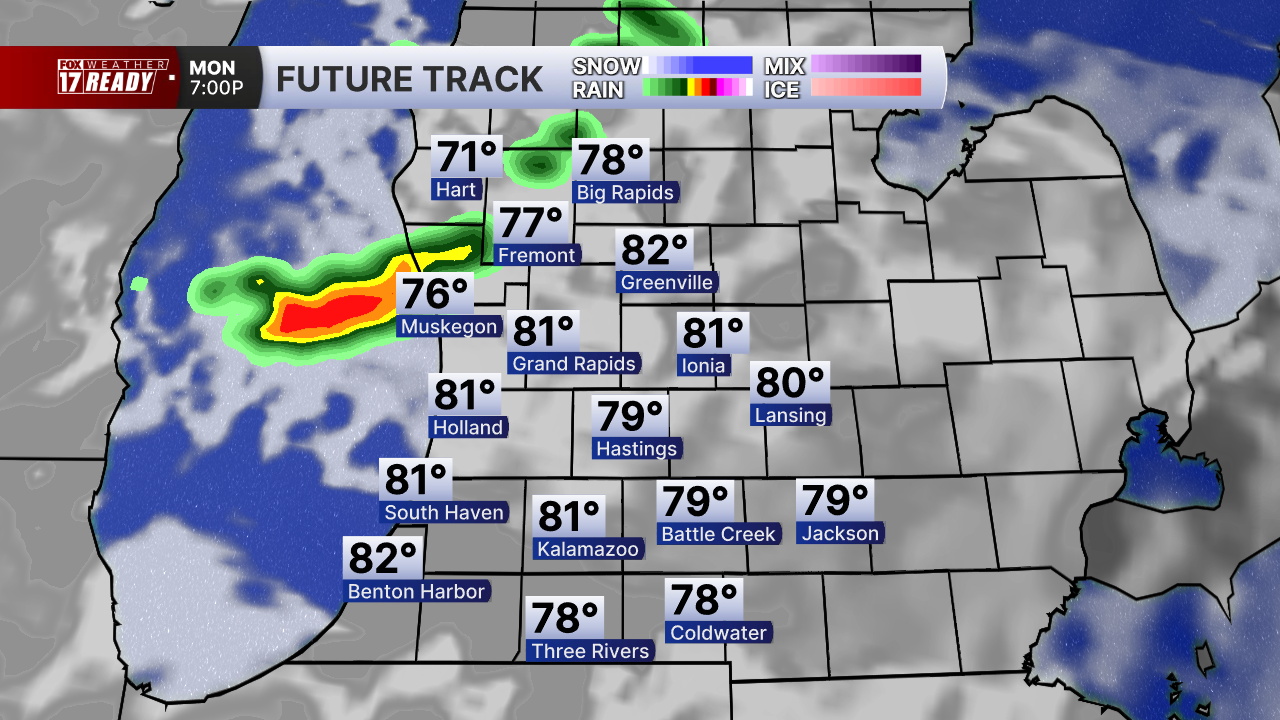
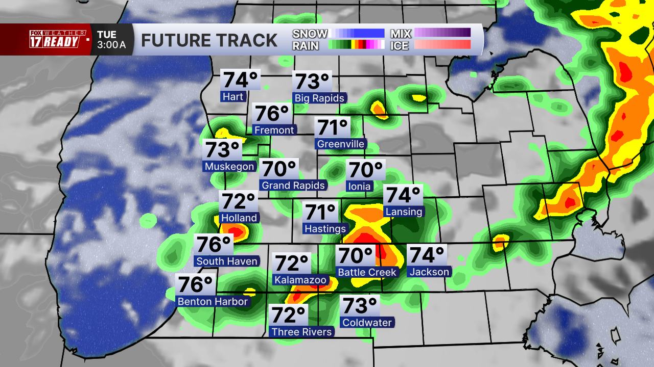
The most widespread rain and storms will be after 10 p.m.

Most of the storms will be out of here by 3 or 4 a.m. Tuesday morning.
The main threats from these storms will be damaging wind gusts of over 60 mph and quarter size hail.
Some much needed rainfall is also expected with this system. While storms could be scattered, some places could see more than a half inch of rainfall from these storms.

In addition to the storms, more wildfire smoke will be around on Monday as well. A statewide Air Quality Alert will be in place as smoke could lead to air quality being in the "unhealthy for sensitive groups" range.
Want alerts when inconvenient or severe weather is headed your way? Download the FOX 17 Weather app and set up notifications for where you live.
For the latest details on the weather in West Michigan, head to the FOX 17 Weather page.
Follow FOX 17: Facebook - X (formerly Twitter) - Instagram - YouTube
