
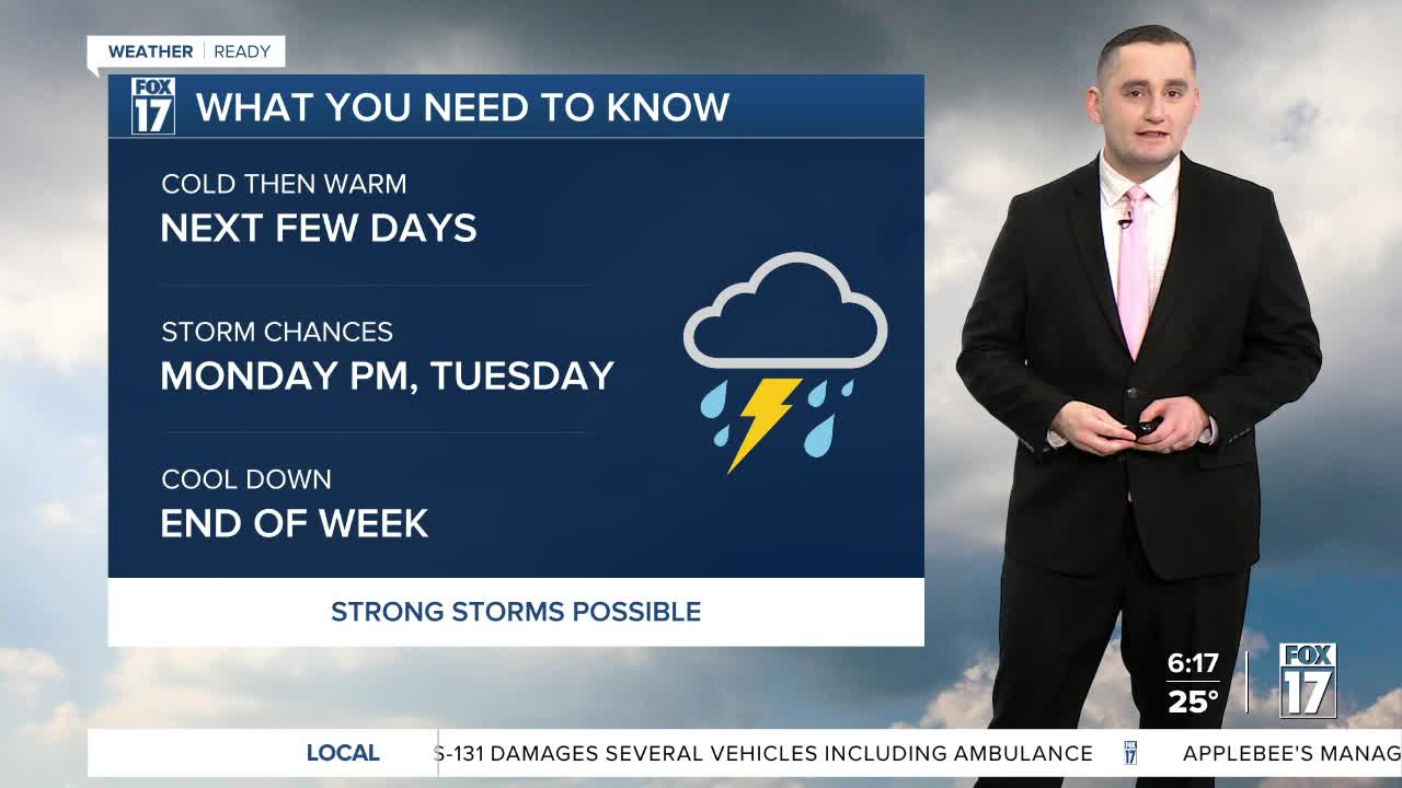


The forecast from FOX 17 Weather Ready Meteorologist Colton Cichoracki: A weak disturbance brought some snow showers to West Michigan last night. A few slick spots will remain on the roads to begin the day. The good news is we will dry out to start the weekend. Saturday's forecast is for mostly sunny to partly cloudy skies. Highs will be in the upper 30s to lower 40s. A warm-up is set to begin on Sunday thanks to a nice breeze from the southwest. This will boost temperatures into the upper 50s to near 60 degrees on Sunday. The warm-up continues into next week as well as highs reach the upper 60s to near 70 degrees both Monday and Tuesday. Our weather will turn much more active, however, with a chance for showers and storms Monday night into Tuesday. There is also the risk for a few stronger thunderstorms as well.
SATURDAY: Partly sunny. Staying cold. Highs in the upper 30s to lower 40s.
SATURDAY NIGHT: Partly to mostly cloudy. Lows in the middle 30s.
SUNDAY: Mostly sunny to partly cloudy and warmer. Highs in the mid to upper 50s.
MONDAY: Mostly cloudy. Slight chance of storms, especially late. Highs in the mid to upper 60s.
TUESDAY: Mostly cloudy and mild with showers and thunderstorms likely. Highs in the upper 60s.
WEDNESDAY: Drying out, mostly cloudy. Highs in the mid 40s.
THURSDAY: Cloudy with an isolated shower. Highs in the mid 40s.
FRIDAY: Cloudy with highs in the lower 50s.
For the latest details on the weather in West Michigan, head to the FOX 17 Weather page.
Want alerts when inconvenient or severe weather is headed your way? Download the FOX 17 Weather app and set up notifications for where you live.
For the latest details on the weather in West Michigan, head to the FOX 17 Weather page.
Follow FOX 17: Facebook - X (formerly Twitter) - Instagram - YouTube
