

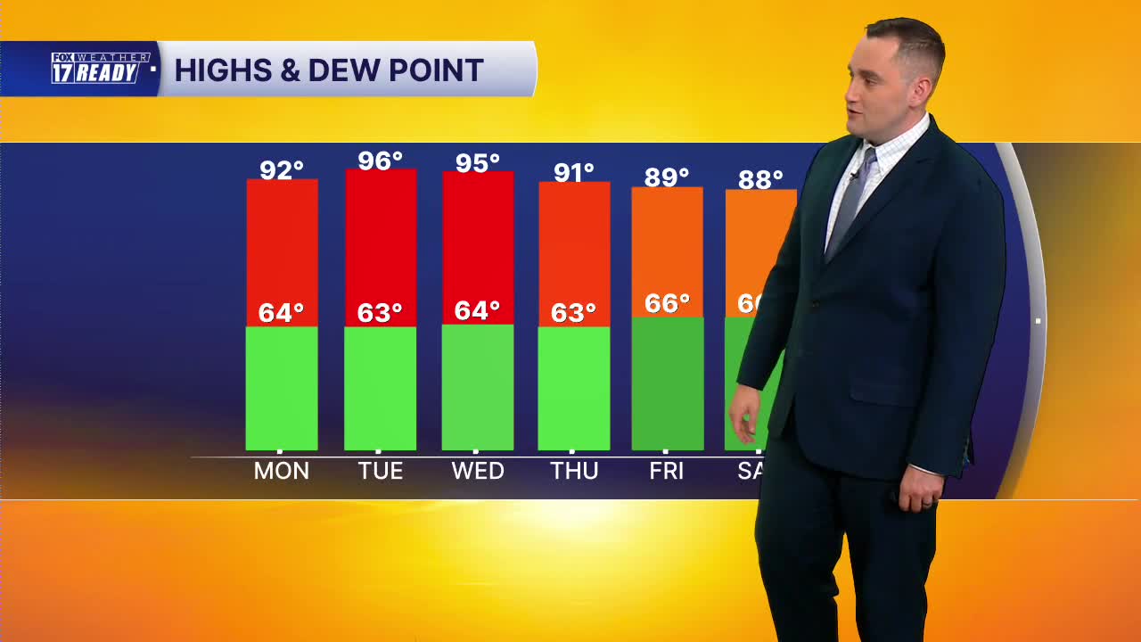


WEST MICHIGAN — The forecast from FOX 17 Weather Ready Meteorologist Colton Cichoracki: A FOX 17 Weather Ready Alert for parts of this upcoming week as another heat wave is set to begin in West Michigan. The hottest days of this week will be Tuesday and Wednesday when air temperatures will be in the middle to upper 90s and heat index values will be around 100 degrees. Before getting to that very high heat, Sunday night is mild with lows in the middle 60s. Monday will be a hot day, too but not quite as hot as Tuesday. Highs will be in the lower 90s with tons of sunshine. Humidity levels will be a touch high and that will send heat index values into the middle 90s Monday afternoon. Stay cool! Humidity levels climb further for the hottest days of the week. Tuesday and Wednesday will be dangerously hot so make sure you stay cool and stay hydrated. Not much rain is coming our way this week either with some smaller chances in the forecast by the end of the week and into the weekend. It does look like a slight cool down will come by Friday and into the weekend.
TONIGHT: Mostly clear and quiet. Lows in the mid 60s. Light wind.
MONDAY: Sunny and hot with highs in the lower 90s. Heat index 90-95 degrees. Wind W at 5-15 mph.
TUESDAY: Weather Ready Alert. Mostly sunny and hot with highs in the middle 90s. Heat index 100-105 degrees.
WEDNESDAY: Weather Ready Alert. Mostly sunny and hot with highs in the low/mid 90s. Heat index 100-105 degrees.
THURSDAY: Partly cloudy with small chance isolated showers or storms. Hot with highs around 90. Heat index 95-100.
FRIDAY: Partly cloudy with small chance showers and storms. Highs in the upper 80s.
SATURDAY: Partly cloudy with chance showers and storms. Highs in the upper 80s.
SUNDAY: Scattered thunderstorms. Highs in the middle 80s.
Want alerts when inconvenient or severe weather is headed your way? Download the FOX 17 Weather app and set up notifications for where you live.
For the latest details on the weather in West Michigan, head to the FOX 17 Weather page.
Follow FOX 17: Facebook - X (formerly Twitter) - Instagram - YouTube
