


The forecast from FOX 17 Weather Ready Chief Meteorologist Kevin Craig: Scattered showers thunderstorms are likely out ahead of a cold front today. At this point, severe weather is not likely but a few storms could be on the stronger side at times with gusty winds or hail. Heavy downpours are also likely with any storms that develop. A much more comfortable air mass will settle into the area behind the front on Wednesday and Thursday, with slightly cooler and noticeably less humid air arriving. we may also see more Canadian wildfire smoke as winds turn more northwets behind the front. The break from the heat and humidity will be short-lived as highs rebound back into the upper 80s and low 90s by late week. Several counties across West Michigan are facing drought conditions, which will be worsening in the days ahead. The Perseid Meteors peak TONIGHT! This is an annual event and stems from debris from the tail of the comet Swift Tuttle. Stay tuned to the FOX 17 Weather Ready Team for your latest forecast updates.
TODAY: Partly sunny, warm, and humid. Scattered showers/storms likely. Some locally heavy downpours possible. Highs in the mid 80s. Winds southwest at 5 to 15 mph.
TONIGHT: Chance of evening shower/storms, otherwise partly to mostly cloudy and muggy. Lows in the upper 60s. Winds southwest/west at 5 to 10 mph.
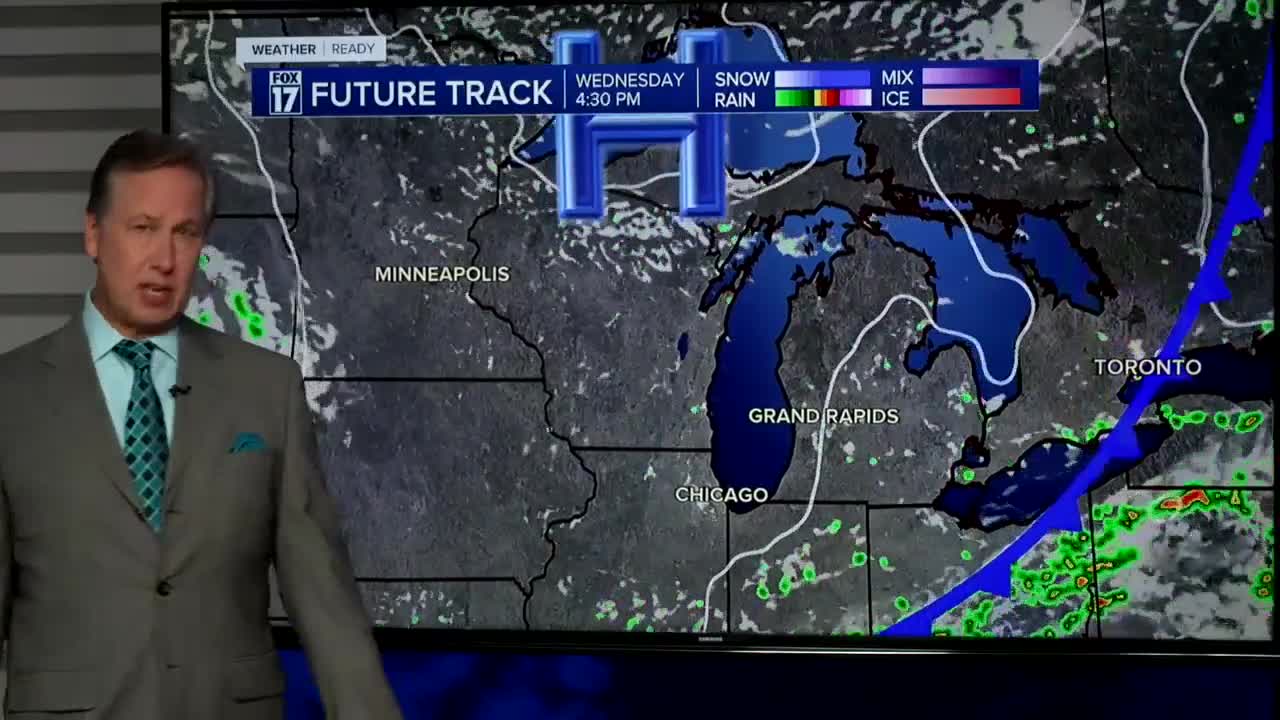
WEDNESDAY: Mostly sunny to partly cloudy and less humid. Highs in the low/mid 80s. Winds northwest at 5 to 15 mph.
THURSDAY: Mostly sunny to partly cloudy. Highs in the low 80s.
FRIDAY: Mostly sunny and hot. Highs in the upper 80s.
SATURDAY: Mostly sunny, hot, and humid. Highs near 90.
SUNDAY: Hot and humid. Highs in the upper 80s.
MONDAY: Scattered showers. Warm and muggy. Highs in the upper 80s.
For the latest details on the weather in West Michigan, head to the FOX 17 Weather page.
Follow FOX 17: Facebook - X (formerly Twitter) - Instagram - YouTube
