


The forecast from FOX 17 Weather Ready Meteorologist Colton Cichoracki: One round of severe storms has passed through West Michigan this Monday afternoon, with another round on the way for Tuesday and another FOX 17 Weather Ready Alert Day. Showers and potentially another line of severe thunderstorms is possible Tuesday afternoon/evening along a cold front, with parts of West Michigan under a Slight Risk (level 2 out of 5). The best chance for severe thunderstorms will be south and east of Grand Rapids. Warm and humid air will provide fuel for storm development, with highs in the low/mid 80s and dew points in the 60s again on Tuesday. Then, quieter and cooler weather will settle in for the second half of the week. High temperatures will be back into the 60s Wednesday through Friday, with mornings in the 40s.
TONIGHT: Mostly cloudy, warm, and muggy. Lows in the mid/upper 60s. Winds south-southwest at 10 - 15 mph.
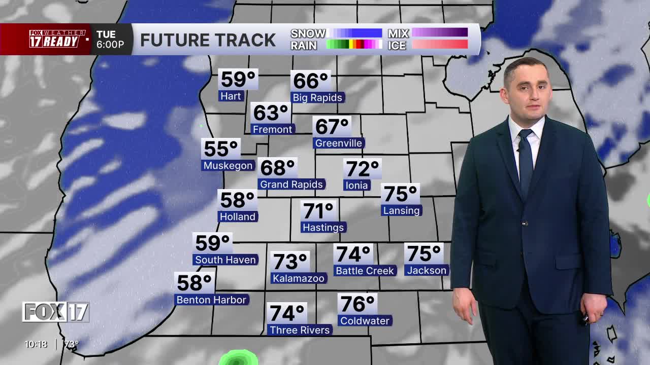
TUESDAY: Weather Ready Alert: Partly sunny, warm, humid, and breezy with scattered thunderstorms. Some may be strong or severe with wind and hail. Highs around 80. Winds southwest/west at 10 to 20 mph.
WEDNESDAY: Morning clouds, afternoon sunshine, and sharply cooler. Highs in low/mid 60s.
THURSDAY: Mostly sunny to partly cloudy and cool. Highs in the mid 60s.
FRIDAY: Morning sunshine, but increasing clouds. Chance of P.M. and nighttime showers. Highs in the upper 60s.
SATURDAY: Chance of morning showers, otherwise mostly cloudy. Highs in the lower 70s.
SUNDAY: Partly cloudy. Highs in the middle 70s.
MEMORIAL DAY: Mostly cloudy with scattered showers. Highs in the middle 70s.
Want alerts when inconvenient or severe weather is headed your way? Download the FOX 17 Weather app and set up notifications for where you live.
For the latest details on the weather in West Michigan, head to the FOX 17 Weather page.
Follow FOX 17: Facebook - X (formerly Twitter) - Instagram - YouTube
