


WEST MICHIGAN — A round of severe storms produced widespread power outage and damage Monday afternoon, but that is not the only severe weather threat of the week. FOX 17 has issued a Weather Ready Alert for tomorrow, Tuesday, May 19, as we are tracking the possibility of strong to severe thunderstorms again.
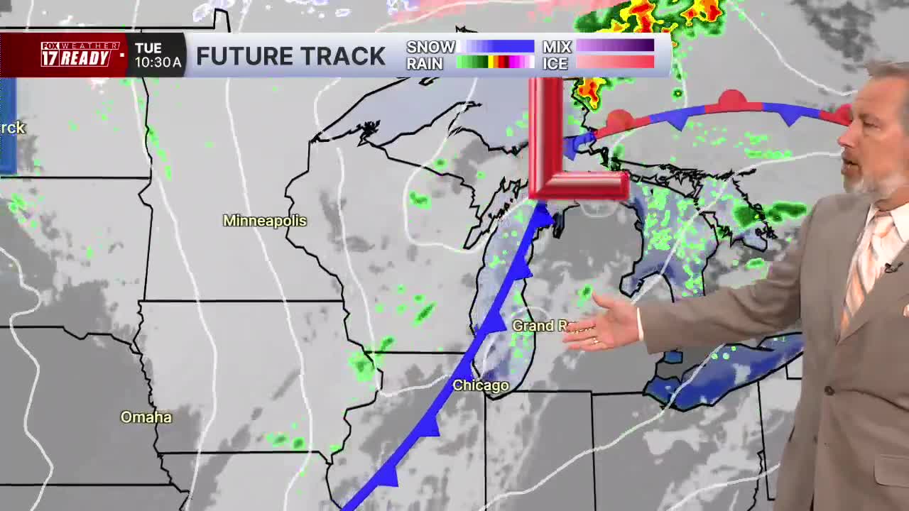
Additional strong to severe storms are possible tomorrow (Tuesday) as a strong cold front passes through.
West Michigan is included in a Slight Risk (level 2/5) for severe weather on Tuesday. See image below.

The better threat for storms appears to be south and east of Grand Rapids, where a cold front can tap in to warm and humid air. Ahead of the front, it will be another hot and humid day with highs in the lower 80s and dew points in the 60s. It will also be breezy, with southwest winds around 20–30 mph and occasional gusts reaching up to 35 mph.
Continue to check in with the FOX 17 Weather Ready Team for the latest updates as we continue to fine-tune the timing and details through today and tomorrow. You can prepare now by making sure that you have multiple ways to receive weather alerts.
After a warm and stormy stretch, calmer and cooler weather will settle in for the second half of the week, with temperatures dropping back into the 60s from Wednesday through Friday.
Follow FOX 17: Facebook - X (formerly Twitter) - Instagram - YouTube
