

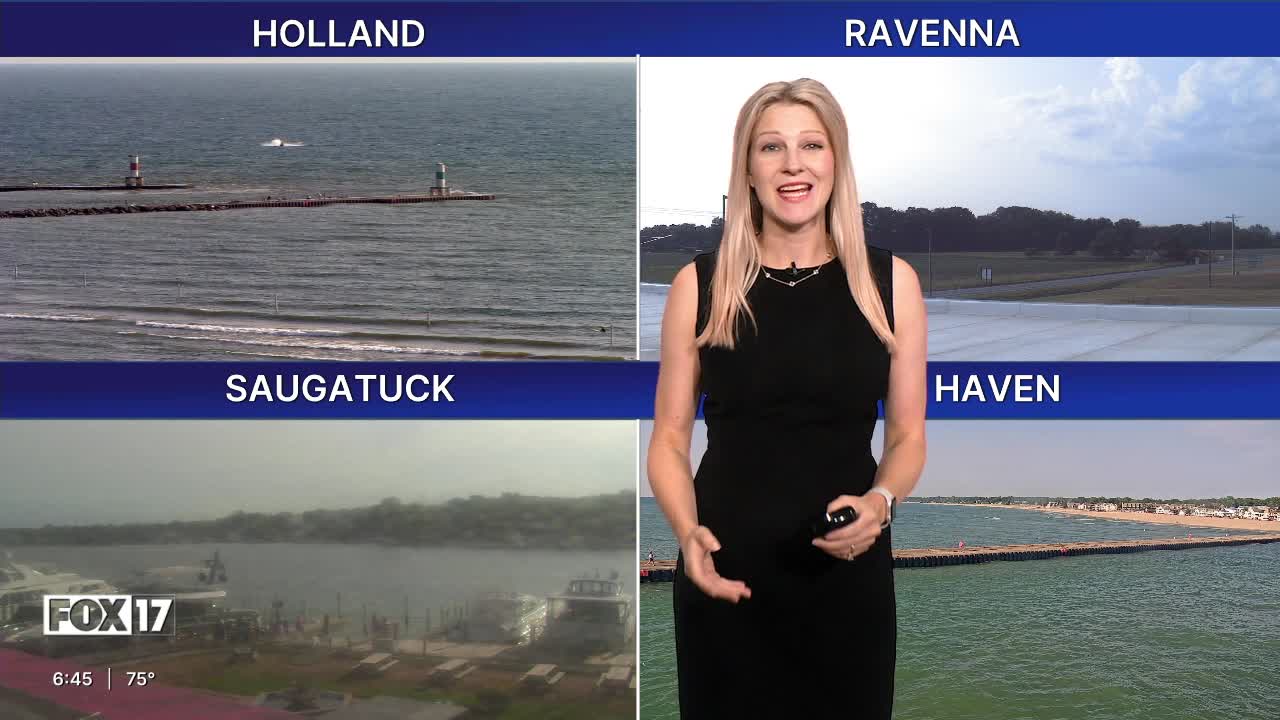


The forecast from FOX 17 Weather Ready Meteorologist Colton Cichoracki: Our earlier rain and storms resulted in around 0.5" to 1" area wide, with many neighborhoods doubling our July rain up to this point! This comes ahead of a cold front, which will pass through early tomorrow morning. A few more showers and storms are possible as the front gets closer from 10 p.m. to 2 a.m., but most stay dry. Behind the front is some slightly cooler but less humid air that will be in place for several days. Clouds will gradually clear tomorrow, with highs in the low 80s. It will be breezy, with a BEACH HAZARD STATEMENT and SMALL CRAFT ADVISORY on Lake Michigan for wave heights up to 6 feet at times! Sunshine continues through Thursday with highs in the low to mid 80s, and mornings in the low to mid 60s. Rain and storm chances return late Friday and Saturday as another front approaches.
TONIGHT: Scattered showers and storms early, otherwise mostly cloudy and muggy. Lows in the upper 60s. Winds southwest/north at 5 to 15 mph.
TUESDAY: Morning clouds, but becoming sunny in the afternoon. Cooler and breezy. Highs in the lower 80s. Winds north at 10 to 15 mph.
WEDNESDAY: Mostly sunny and much less humid. Highs in the lower 80s.
THURSDAY: Mostly sunny. Highs in the mid/upper 80s.
FRIDAY: Partly sunny. Chance for late day showers and thunderstorms. Highs in the mid 80s.
SATURDAY: Chance of showers and storms. Highs in the mid 80s.
SUNDAY: Partly cloudy with highs in the mid 80s.
MONDAY: Mostly sunny with highs in the mid 80s.
Want alerts when inconvenient or severe weather is headed your way? Download the FOX 17 Weather app and set up notifications for where you live.
For the latest details on the weather in West Michigan, head to the FOX 17 Weather page.
Follow FOX 17: Facebook - X (formerly Twitter) - Instagram - YouTube
