




WEST MICHIGAN — The FOX 17 Weather Ready Team has issued a WEATHER READY ALERT for Monday, July 27, due to the chance for severe thunderstorms in West Michigan.
There is a Severe Thunderstorm Watch for parts of West Michigan until 8 p.m. Storms are capable of damaging wind gusts and large hail, along with lightning and heavy rain.
We remain largely in a slight risk for severe storms today (level 2/5). Damaging wind gusts are the main threat, but large hail is also possible. There's a only a low tornado threat.

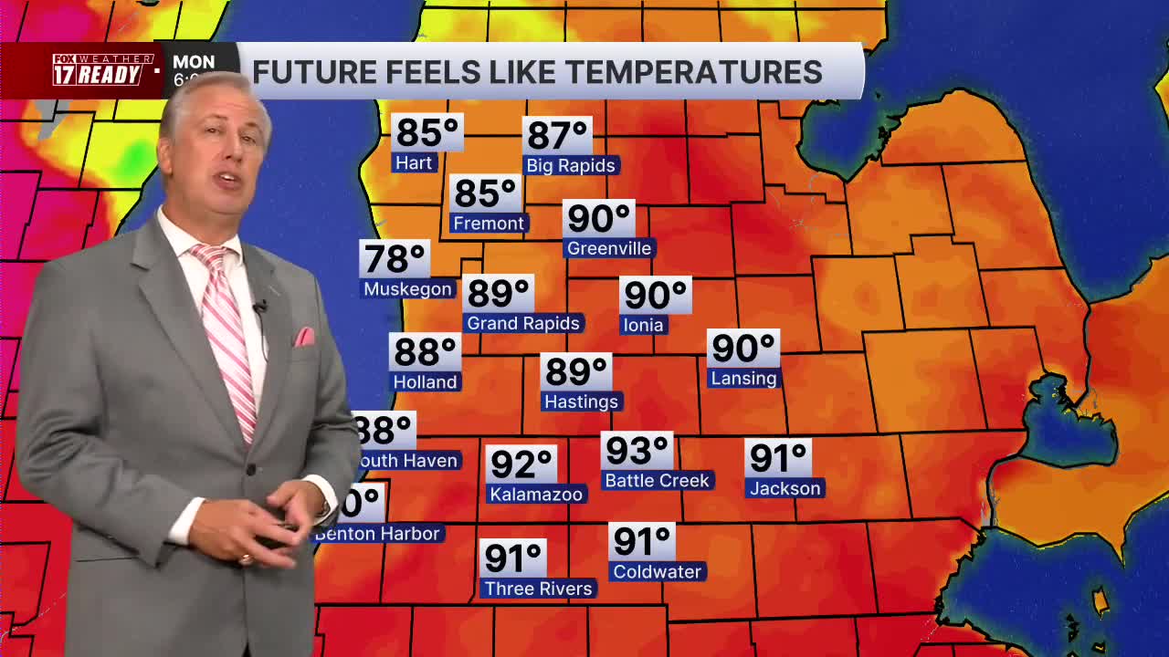
The warm, muggy conditions will stick around today, helping create a favorable environment for the development of showers and thunderstorms.
After this morning's rain and storms, it will be mainly dry through midday. Then another round of severe weather will be possible this afternoon and evening ahead of a cold front.
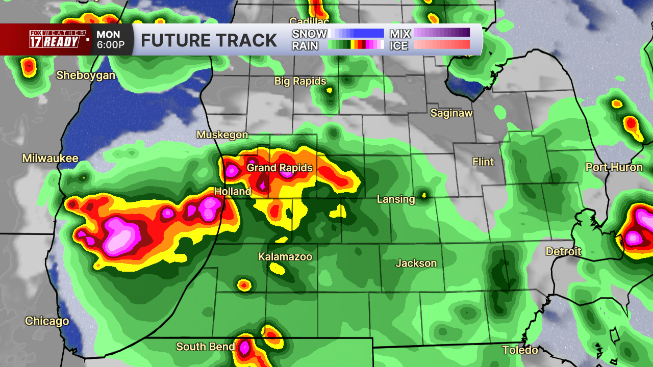
It's hard to pinpoint exactly where the stronger storms will set up. Gusty winds and hail will once again be the main concerns with these storms.

Make sure you have ways to receive warnings and alerts.
Rain and storms will come to an end by early Tuesday and skies begin to clear behind the front.
Rainfall totals from this system could be above 0.50" in spots, with locally higher amounts possible where heavier downpours and thunderstorms develop.

Grand Rapids has only picked up 0.57" of rain so far in July, which is well below the average of 2.99" for this point in the month. While we are not technically in any drought conditions in West Michigan yet, the lack of rain has definitely been noticeable. Any rain that we can get will be beneficial!
Want alerts when inconvenient or severe weather is headed your way? Download the FOX 17 Weather app and set up notifications for where you live.
For the latest details on the weather in West Michigan, head to the FOX 17 Weather page.
Follow FOX 17: Facebook - X (formerly Twitter) - Instagram - YouTube
