

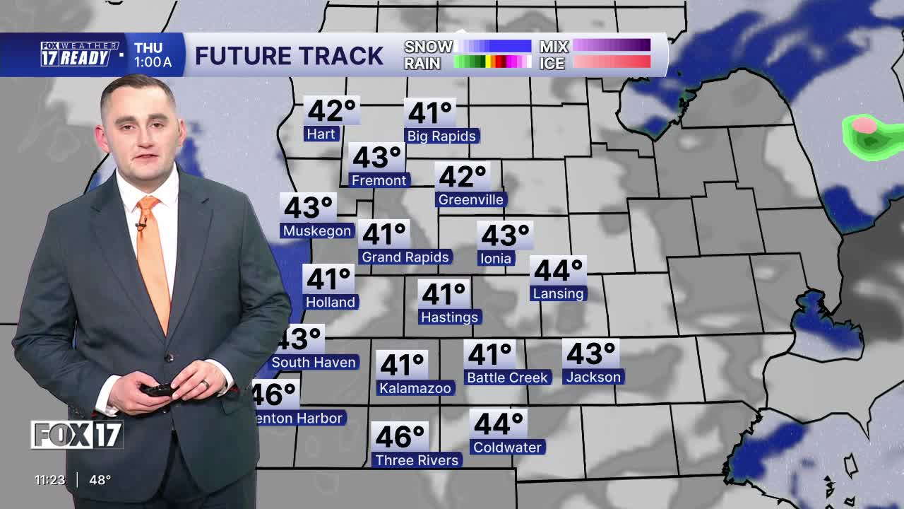


The forecast from FOX 17 Weather Ready Meteorologist Colton Cichoracki: Cooler than average temperatures will round out the rest of the work week, including another morning with widespread frost potential. There is a FROST ADVISORY for all of West Michigan tonight into early tomorrow morning, except Newaygo and Mecosta counties, which are under a FREEZE WARNING. Cover your plants tonight! Temperatures overnight will range from around 32 to 37 degrees, with the colder temperatures in Newaygo and Mecosta counties. A large upper low in southern Canada is influencing the weather in the Great Lakes, with continued cool air flowing in. Highs Thursday remain in the 50s, Friday will be near 60, and Saturday the warmest day of the week in the mid-60s. Spotty showers are possible Thursday through Saturday. Rain chances become higher with widespread showers expected Saturday night into Mother's Day Sunday.
TONIGHT: Cloudy this evening, but becoming mostly clear and cold overnight. Areas of frost. Lows in the mid 30s. Winds west at 5 to 10 mph.
THURSDAY: Cold start with areas of morning frost, otherwise partly cloudy and cool. Chance of isolated P.M. showers. Highs in the mid 50s. Winds west at 10 to 15 mph.
FRIDAY: Partly cloudy to partly sunny and cool. A shower possible. Highs around 60.
SATURDAY: Partly cloudy with a chance of P.M. and nighttime showers. Warmer too. Highs in the mid/upper 60s.
SUNDAY: HAPPY MOTHER'S DAY! Chance of morning showers, otherwise partly sunny to mostly cloudy. Highs in the lower 60s.
MONDAY: Partly cloudy. Highs in the upper 50s.
TUESDAY: Mostly cloudy with chance showers. Highs around 60.
WEDNESDAY: Mostly cloudy with highs in the low 60s.
Want alerts when inconvenient or severe weather is headed your way? Download the FOX 17 Weather app and set up notifications for where you live.
For the latest details on the weather in West Michigan, head to the FOX 17 Weather page.
Follow FOX 17: Facebook - X (formerly Twitter) - Instagram - YouTube
