


WEST MICHIGAN — The forecast from FOX 17 Meteorologist Reece Cole: Mostly clear skies tonight, as temperatures fall back to the upper 40s around 50 degrees. We see high clouds move in early Tuesday, with thicker clouds through the mid morning, ahead of our next rain maker. Strong to severe thunderstorms will be possible Tuesday afternoon and evening. Hail, wind, and an isolated tornado can't be ruled out. Click here for more information about Tuesday's severe weather potential. Pop-up showers will be possible late Wednesday night, with more widespread rain on Thursday. Stay alert with the FOX 17 Weather Team.
TONIGHT: Clear to partly cloudy. Lows in the upper 40s. Winds east at 5 to 10 mph.
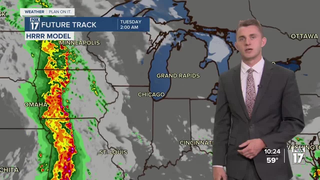
TOMORROW/TUESDAY: Clouds thicken with a slight chance of morning showers, but showers and storms likely in the afternoon and evening. Some may be on the strong to severe side. Highs in the lower 70s. Winds southeast at 10 to 20 mph.
WEDNESDAY: Partly cloudy to partly sunny. Stray shower possible in the late evening and overnight. Highs in the low to mid 70s.
THURSDAY: Mostly cloudy with chance of scattered showers. A thunderstorm also possible. Cooler too. Highs in the lower 60s.
FRIDAY: Partly cloudy to partly sunny. Highs in the lower 60s.
For the latest details on the weather in West Michigan, head to the FOX 17 Weather page.
Follow FOX 17: Facebook - X (formerly Twitter) - Instagram - YouTube
