


WEST MICHIGAN — The forecast from FOX 17 Weather Ready Meteorologist Colton Cichoracki: It's been 11 days since we've received any rain, but that changes tomorrow. The surface high pressure and Omega block are moving away, allowing a cold front system to approach West Michigan tomorrow. Expect rounds of rain and thunderstorms tomorrow into Saturday. Rain totals will be between 0.5-1", with isolated higher totals possible in the heaviest downpours. Storms could also be briefly severe tomorrow afternoon and evening, with damaging wind and hail as the main threats. All of West Michigan is included in a MARGINAL RISK (Level 1/5) for severe storms, and we have issued a FOX 17 WEATHER READY ALERT for Friday. Rain and storm chances continue Saturday, especially early in the day, before drying out. Sunday looks to be dry, along with Monday. The heat and humidity turn up into next week with highs in the mid 80s and heat index temperatures even higher!
TONIGHT: Partly cloudy. Lows in the mid 60s. Winds S/SW at 5-10 mph.
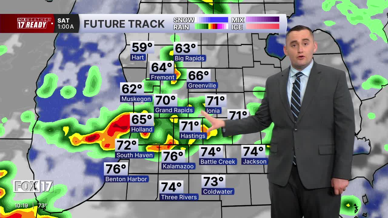
FRIDAY: WEATHER READY ALERT: Partly sunny, warm, and humid. A few morning showers possible, but better shower/storm chances arrive in the afternoon and evening. Some could be strong to marginally severe. Highs in the low/mid 80s. Winds SW at 10-20 mph, with gusts 30 mph.
SATURDAY: Showers and storms likely in the morning, then mostly to partly cloudy. Highs in the upper 70s near 80 and humid.
SUNDAY: Mostly sunny, warm, and humid. Highs in the low 80s.
MONDAY: Mostly sunny, humid, and warmer. Highs in the mid 80s.
TUESDAY: Partly cloudy with chance showers. Highs in the mid 80s.
WEDNESDAY: Partly cloudy with chance showers. Highs in the mid 80s.
THURSDAY: Partly cloudy, hot and humid. Highs in the upper 80s.
Want alerts when inconvenient or severe weather is headed your way? Download the FOX 17 Weather app and set up notifications for where you live.
For the latest details on the weather in West Michigan, head to the FOX 17 Weather page.
Follow FOX 17: Facebook - X (formerly Twitter) - Instagram - YouTube
