


The forecast from FOX 17 Weather Ready Chief Meteorologist Kevin Craig: Some light wildfire smoke and lower humidity levels are keeping things comfortable and dry through this evening. Big changes are ahead for the rest of the week, as a strong area of high pressure builds over the eastern half of the country. This will drive high temperatures into the low to mid 90s across West Michigan. Humidity levels will also jump, with feels-like temperatures Wednesday through Friday in the upper 90s and lower 100s. Only isolated showers and are likely those days, with the majority of each day staying dry. We may be able to start seeing the Perseid Meteors in the coming days, but they don't peak until August 12/13. This is an annual event and stems from debris from the tail of the comet Swift Tuttle. Stay tuned to the FOX 17 Weather Ready Team for your latest forecast updates.
TODAY: Mostly sunny, warm, and pleasant. Highs in the mid 80s. Winds southeast at 5 to 10 mph.
TONIGHT: Mostly clear. Lows in the mid 60s. Winds southeast at 5 to 10 mph.
WEDNESDAY: Mostly sunny, hot, and a bit more humid. Highs in the lower 90s. Heat index low/mid 90s. Winds south-southwest at 10 to 15 mph.
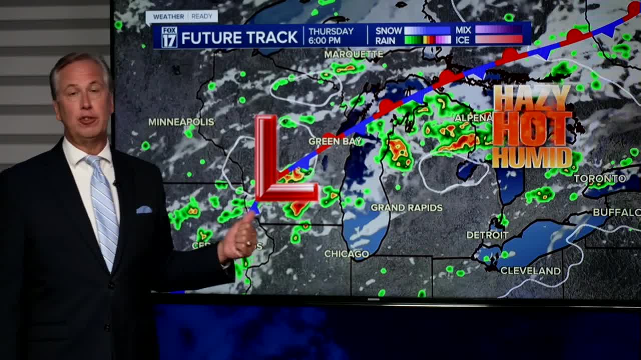
THURSDAY: Mostly sunny, hot, and humid. Highs in the mid 90s. Heat index upper 90s to low 100s.
FRIDAY: Partly sunny, warm, and muggy with scattered showers/storms. Highs in the upper 80s.
SATURDAY: Warm and muggy. Chance of morning showers/storms. Highs in the upper 80s.
SUNDAY: Mostly sunny and hot. Highs near 90.
MONDAY: Mostly sunny and hot. Highs around 90.
For the latest details on the weather in West Michigan, head to the FOX 17 Weather page.
Follow FOX 17: Facebook - X (formerly Twitter) - Instagram - YouTube
