
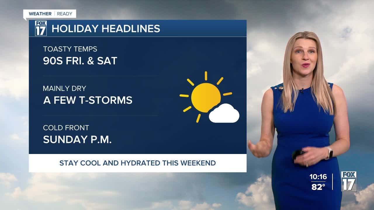


The forecast from FOX 17 Weather Ready Meteorologist Kara James: Dew points are gradually climbing as we head into the holiday weekend, with plenty of heat to build in as well! The 4th of July looks mostly dry and hot, with isolated mid-morning showers and afternoon thunderstorms possible. Any thunderstorms will wind down by sunset, meaning the fireworks forecast is clear! Thunderstorm chances are building for the weekend, with the best opportunity Sunday P.M. and night as a weakening cold front moves in (but some areas may get missed again). Watch for feels like temperatures in the mid to upper 90s Friday and Saturday! Stay tuned to the FOX 17 Weather Ready Team for your latest forecast updates.
TONIGHT: Mostly clear and quiet with an isolated shower. Lows in the low/mid 60s. Winds light/variable.
FRIDAY: Mostly sunny to partly cloudy, hot, and a bit more humid. An isolated shower/storm possible. Highs around 90. Winds south/southwest at 5 to 10 mph.
SATURDAY: Mostly sunny to partly cloudy, hot, and humid. Highs in the low/mid 90s. Heat index values in the low/mid 90s.
SUNDAY: Partly sunny, warm, and muggy with a chance of P.M. and night showers/storms. Highs in the upper 80s.
MONDAY: Chance of morning showers, otherwise partly cloudy to partly sunny, cooler, and less humid. Highs in the low/mid 80s.
TUESDAY: Mostly sunny and slightly cooler, with highs in the low to mid 80s.
WEDNESDAY: Mostly sunny with highs in the mid 80s.
For the latest details on the weather in West Michigan, head to the FOX 17 Weather page.
Follow FOX 17: Facebook - X (formerly Twitter) - Instagram - YouTube
