

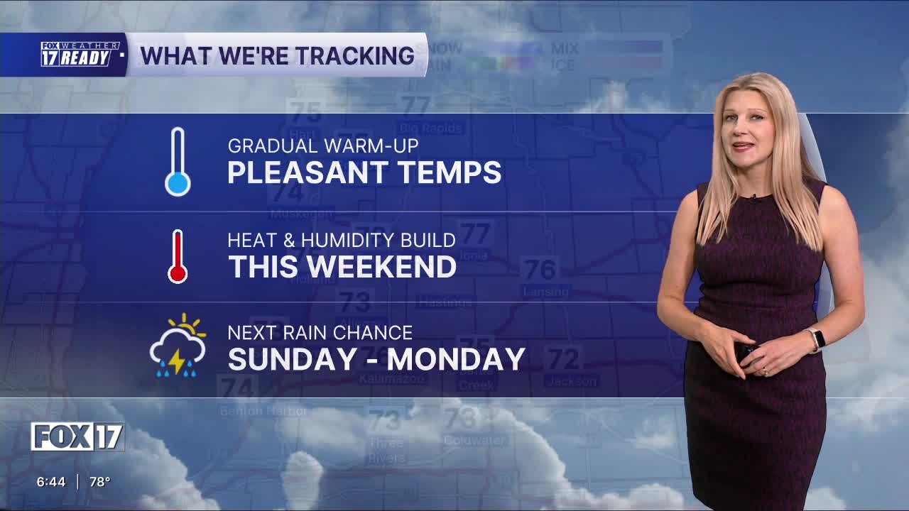


WEST MICHIGAN — The forecast from FOX 17 Weather Ready Meteorologist Colton Cichoracki: After starting this morning in the 40s for many neighborhoods, the coolest since mid-June, it's been a very nice day. Tonight will be another great night to crack open the windows as lows drop into the 50s. Tomorrow will be slightly warmer in the lower 80s but humidity levels will still be low. Temperatures climb quickly into the mid 80s Saturday, and low 90s Sunday and Monday. This comes with an increase in humidity and chances for rain and thunderstorms as a few upper level systems roll through. Only a slight rain/storm chance exists Saturday night and Sunday, with better chances for rain and storms late Sunday through Monday. West Michigan has been included in the SLIGHT RISK (Level 2 out of 5) for severe storms on Monday. The main threat will be damaging wind gusts. Rain amounts now look to be around 0.5" from this system. Keep the sprinklers running!
TONIGHT: Partly cloudy and cool. Lows in the mid 50s. Wind N at 5 mph.
FRIDAY: Partly cloudy to mostly sunny, and a bit warmer. Highs in the lower 80s. Wind S/SW at 5-10 mph.
SATURDAY: Partly cloudy. Highs in the middle 80s. Slight chance of a nighttime shower/storm.
SUNDAY: Partly cloudy, hot and humid. Scattered late day showers/storms. Highs around 90.
MONDAY: Mostly cloudy with scattered showers and storms. Some could be strong to severe. Highs around 90.
TUESDAY: Chance showers early, otherwise partly cloudy. Highs in the mid 80s.
WEDNESDAY: Mostly sunny with highs in the mid 80s.
THURSDAY: Mostly sunny with highs in the mid to upper 80s.
Want alerts when inconvenient or severe weather is headed your way? Download the FOX 17 Weather app and set up notifications for where you live.
For the latest details on the weather in West Michigan, head to the FOX 17 Weather page.
Follow FOX 17: Facebook - X (formerly Twitter) - Instagram - YouTube
