
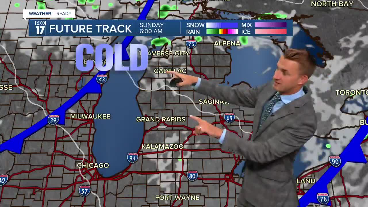


The forecast from FOX 17 Weather Ready Meteorologist Reece Cole: The big story is clearing skies and dry air into the end of this work week. The next best chance for rain comes with another front on Saturday, which may produce a few light showers or thundershowers and usher in a "Fall preview" for the following week! Highs may be stuck in the upper 60s early next week! In fact, we'll have the chance of some lake effect/lake enhanced rain showers on Sunday and Monday as colder air comes across the warmer water of Lake Michigan. There may be a waterspout or two, too! On the tropical front, we are tracking Hurricane Erin. Stay tuned to the FOX 17 Weather Ready Team for your latest forecast updates.
TONIGHT: Becoming mostly cloudy. Chance of a shower/storm late. Lows in the lower 60s. Winds south at 5 to 10 mph.
SATURDAY: Partly cloudy to partly sunny with a chance for a shower/thundershower. Highs around 80. Winds southwest/west at 10 to 15 mph.
SUNDAY: Variable cloudiness. Feeling "Fall-ish". Cooler with the slightest chance of a shower. Highs in the lower 70s.
MONDAY: Partly cloudy to partly sunny. Feeling "Fall-ish". Highs in the upper 60s to near 70.
TUESDAY: Partly cloudy, chance of a shower. Highs near 70.
WEDNESDAY: Mostly sunny and cool. Highs in the low 70s.
For the latest details on the weather in West Michigan, head to the FOX 17 Weather page.
Follow FOX 17: Facebook - X (formerly Twitter) - Instagram - YouTube
