
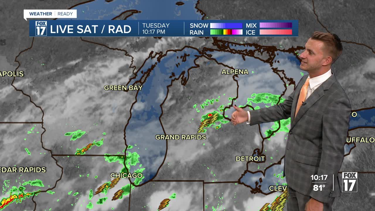


The forecast from FOX 17 Weather Ready Meteorologist Reece Cole: Areas along I-94 received over an inch of rain with thunderstorms this afternoon, while Grand Rapids had one, brief sprinkle. Tonight will still have a scattered shower or storm south of I-96 as the muggier air remains. A similar set up for Wednesday and Thursday keep us with a MARGINAL RISK (Level 1 out of 5) for gusty winds, heavy downpours, and intense lightning. Just know these are localized pop-ups and much of the time will be dry. This weekend looks to swing warm again, drying us out but bringing feels like temperatures into the 90s once again. Stay tuned to the FOX 17 Weather Ready Team for your latest forecast updates.
TONIGHT: Very warm and muggy. Chance of an isolated shower or storm. Lows near 70-degrees. Winds: NW-E 5-15 mph
WEDNESDAY: Partly cloudy to partly sunny. Scattered showers and thunderstorms. A Few storms may be strong (SEE SEVERE OUTLOOK BELOW) with pockets of locally heavy downpours. Highs in the lower-80s. Winds: East 5-15 mph.

THURSDAY: Partly Cloudy with chances for showers and storms, especially in the afternoon. Remaining very humid. Highs in the mid-80s. Wave heights up to 1 foot.
FRIDAY: Partly Cloudy. Chance Shower/Storm. Remaining unseasonably warm. Highs in the mid-80s. Low was
SATURDAY: Partly Cloudy. Highs in the mid-80s.
SUNDAY: Mostly sunny and hot. Highs near 90-degrees.
MONDAY: Warm and muggy. Chance isolated storms. Highs in the low-mid 80s.
TUESDAY: Partly cloudy. Highs in the low-80s.
For the latest details on the weather in West Michigan, head to the FOX 17 Weather page.
Follow FOX 17: Facebook - X (formerly Twitter) - Instagram - YouTube
