
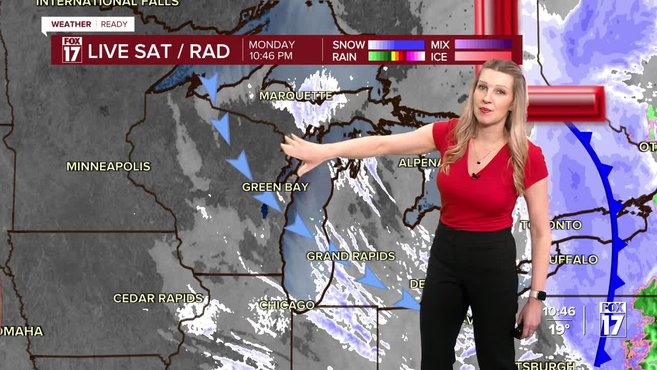


The forecast from FOX 17 Weather Ready Meteorologist Kara James: West Michigan is certainly back to some winter weather as lake effect snow will continue overnight, with several inches of accumulation west of 131. The snow will gradually wrap up Tuesday morning but the morning commute will likely be impacted. A Winter Weather Advisory remains in effect through 11 A.M. Tuesday for most of West Michigan. A Winter Storm Warning is in effect until 11 A.M. Tuesday for Oceana County. Visibility will be very low within snow bands, so be careful driving! Winds will gradually come down overnight but remain breezy, with gusts around 35 mph. Tuesday will be cold in the low/mid 20s with wind chills around 10 during the day. Another quick burst of snow comes Wednesday and could impact the morning commute, but accumulations will be low. Starting Thursday and into next week, a return to warmer and quieter weather happens just in time for the official start to Spring on Friday!

TONIGHT: Partly to mostly cloudy, windy, and cold with snow showers, mainly along/west of U.S. 131. Another 1-3" of accumulation likely, mainly west of U.S. 131 and towards I-94. Lows in the mid teens. Winds northwest 15 to 25 mph. Wind chills in the single digits.
TUESDAY: Mostly cloudy, breezy, and cold with lake effect snow showers early. Highs in the low/mid 20s. Winds west-northwest at 10 to 20 mph.
WEDNESDAY: Mostly cloudy with chance snow showers early. Highs in the mid 30s.
THURSDAY: Partly cloudy to partly sunny. Highs in the upper 40s.
FRIDAY: Mostly cloudy. Highs in the lower 50s.
SATURDAY: Partly sunny. Highs in the lower 50s.
SUNDAY: Mostly cloudy. Chance or rain/snow showers. Highs in the upper 40s.
MONDAY: Partly cloudy. Highs in the lower 40s.
For the latest details on the weather in West Michigan, head to the FOX 17 Weather page.
Follow FOX 17: Facebook - X (formerly Twitter) - Instagram - YouTube
