
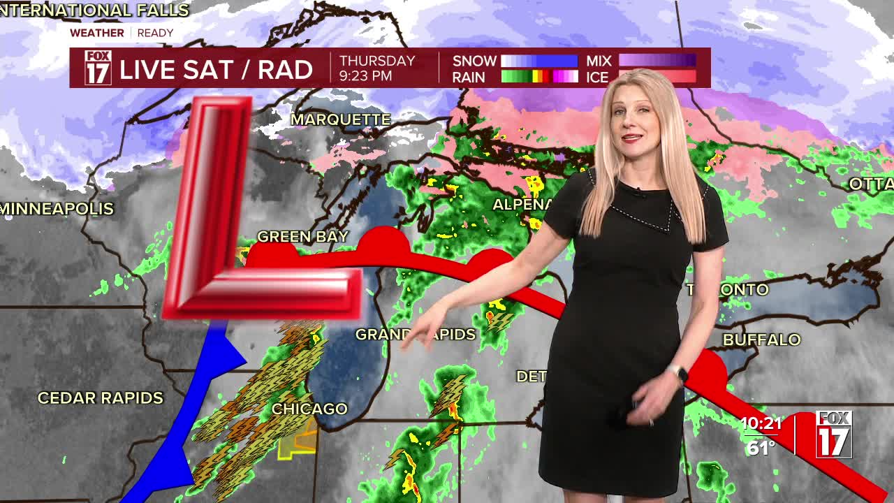


The forecast from FOX 17 Meteorologist Kara James: A FOX 17 WEATHER READY ALERT continues tonight due to a few more strong storms overnight associated with a cold front. The Storm Prediction Center has kept West Michigan in a Slight Risk (level 2/5) for severe thunderstorms overnight. A few with damaging gusts are likely, but a brief spin-up tornado can't be ruled out with the amount of spin in the atmosphere. Storms will end around 2 a.m. Friday, with increasing sunshine during the day and highs in the upper 50s to around 60. Another system brings rain and more storms late Friday night into Saturday morning. Rain totals could amount to another 1-2" before the weekend ends. Easter Sunday looks to be cooler and mostly cloudy, quiet stretch of days into early next week.
TONIGHT: Weather Ready Alert. A few strong to severe thunderstorms possible through 2 a.m.. Wind gusts are the main threat, but a brief spin-up tornado also possible. Winds east/south at 10 to 20 mph. Lows in the upper 40s.
FRIDAY: Morning clouds, becoming mostly sunny. Highs in the upper 50s to near 60. Winds west at 5 to 15 mph.
SATURDAY: Cloudy with rain and thunderstorms likely. Some may be strong to severe. Highs in the low/mid 60s.
EASTER SUNDAY: Mostly cloudy and cooler. Highs in the middle 40s.
MONDAY: Partly cloudy to partly sunny. Slight chance of a shower. Highs in the upper 40s to near 50.
TUESDAY: Partly cloudy to partly sunny and cool. Highs in the mid 40s.
WEDNESDAY: Partly sunny. Highs in the mid 50s.
Want alerts when inconvenient or severe weather is headed your way? Download the FOX 17 Weather app and set up notifications for where you live.
For the latest details on the weather in West Michigan, head to the FOX 17 Weather page.
Want alerts when inconvenient or severe weather is headed your way? Download the FOX 17 Weather app and set up notifications for where you live.
For the latest details on the weather in West Michigan, head to the FOX 17 Weather page.
Follow FOX 17: Facebook - X (formerly Twitter) - Instagram - YouTube
