


WEST MICHIGAN — The forecast from FOX 17 Weather Ready Meteorologist Gracyn Freund: The remainder of the weekend looks dry, warm, and humid with afternoon highs in the lower 80s. Looking ahead to next week, chances for showers and thunderstorms will increase from Monday through Wednesday, and maybe into Thursday as well. Heat and humidity will continue to build, pushing highs into the mid-80s. By late week, temperatures are expected to climb into the upper 80s, with heat index values feeling even hotter. Hello summer!
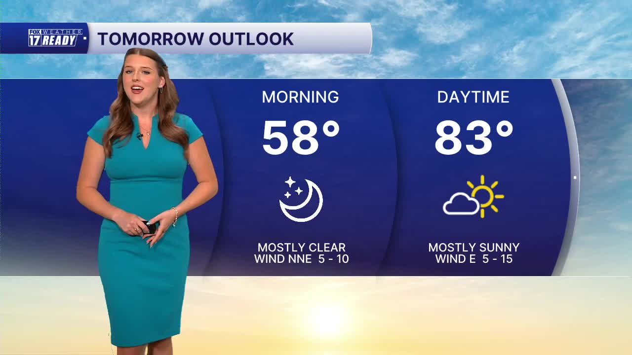
TONIGHT: Mostly clear. Lows in the upper 50s. Calm Wind N/NE at 5 mph.
SUNDAY: Mostly sunny, warm, and humid. Highs in the low 80s. Wind E at 5-15 mph.
MONDAY: Partly cloudy with chance showers during the afternoon and evening. Warmer and humid. Highs in the mid 80s.
TUESDAY: Partly cloudy with chance showers and thunderstorms. Highs in the low/mid 80s.
WEDNESDAY: Partly to mostly cloudy with chance showers and thunderstorms. Highs in the mid 80s.
THURSDAY: Partly cloudy with chance showers and isolated thunderstorms. Hot and humid, Highs in the upper 80s.
FRIDAY: Partly cloudy, hot, and humid. Highs in the mid/upper 80s.
Follow FOX 17: Facebook - X (formerly Twitter) - Instagram - YouTube
