
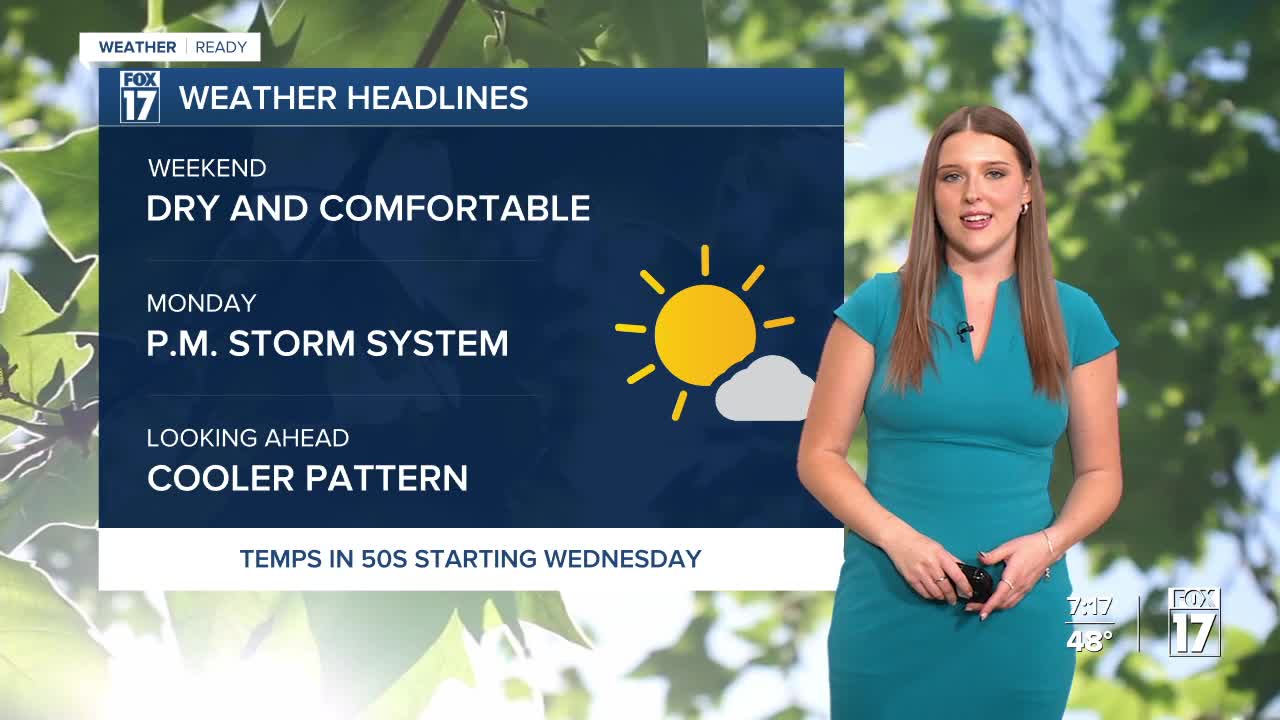


WEST MICHIGAN — The forecast from FOX 17 Weather Ready Meteorologist Gracyn Freund: If you don't have any outdoor plans this weekend, make some, because it is going to be beautiful both days! Partly cloudy skies Saturday morning will give way to mostly sunny skies through the afternoon. We're saying goodbye to the 70s and 80s, however temperatures will still be above average as highs climb into the middle 60s. Some locations along the lake shore may be held to the upper 50s. Tonight temperatures will be chilly dropping to near 40 under a mostly clear sky. Sunday we'll be mostly sunny with a few passing clouds here and there, and temperatures will be in the mid to upper 60s. Our next system will move into the area late in the day Monday. In fact, most of the day will be dry but widespread rain and storms are likely Monday night into Tuesday. After that system, we settle back into a cooler pattern with highs in the 50s for the rest of the week.
TODAY: Morning clouds followed by afternoon sunshine. Highs in the mid 60s. Winds turning N/NE at 5-15 mph.
TONIGHT: Mostly clear. Lows in the upper 30s and lower 40s. Winds E at 5-10 mph.
SUNDAY: Mostly sunny and pleasant. Highs in the mid/upper 60s. Winds E at 5-15 mph.
MONDAY: Mostly cloudy with P.M./nighttime showers/storms likely. Highs around 70.
TUESDAY: Lingering showers early, otherwise mostly cloudy and cooler. Highs in the low 60s.
WEDNESDAY: Partly to mostly cloudy. Highs in the upper 50s near 60.
THURSDAY: Partly to mostly cloudy. Highs in the middle/upper 50s.
FRIDAY: Mostly cloudy and cooler. Highs in the low/middle 50s.
Want alerts when inconvenient or severe weather is headed your way? Download the FOX 17 Weather app and set up notifications for where you live.
For the latest details on the weather in West Michigan, head to the FOX 17 Weather page.
Follow FOX 17: Facebook - X (formerly Twitter) - Instagram - YouTube
