


WEST MICHIGAN — The FOX 17 Weather Team is tracking light snow showers through the remainder of the weekend, that will linger into the start of the work week.
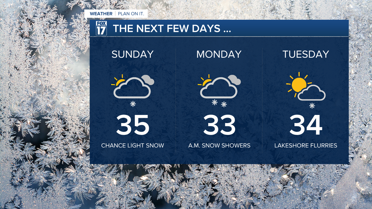
Sunday evening snow showers will begin to creep in. Overnight the light snow will create a light dusting through many of our communities.
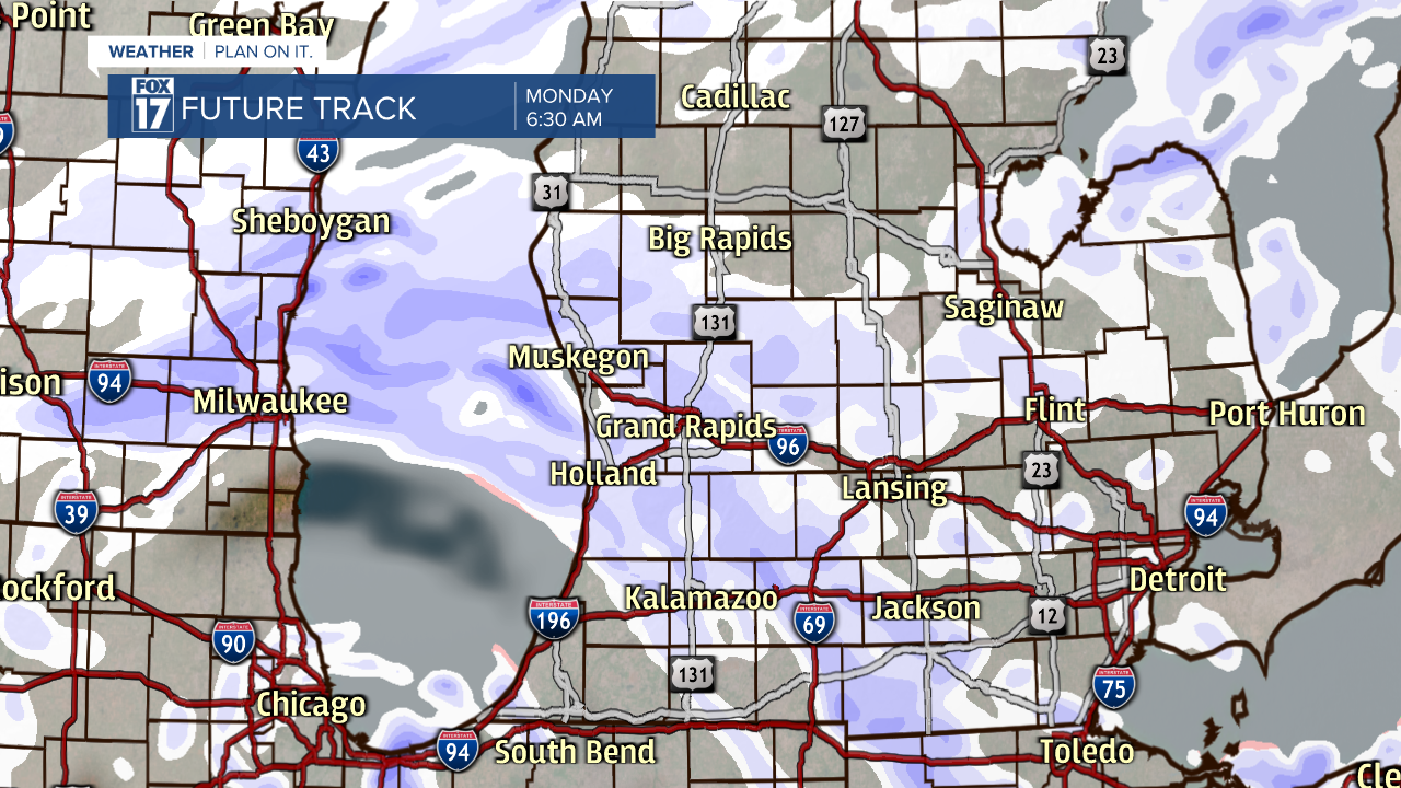
The snow will last through Monday morning, bringing chances of making a slick commute. Luckily, our ground temperatures are still pretty warm, which will help with accumulation.

This will also limit snowfall totals to around 2 to 3 inches for many communities.
The snow will linger in pockets for the remainder of Monday. Tuesday we can expect snow showers to stay mainly along the lakeshore, as cloud cover begins to break up for our inland communities.

The remainder of the week is dry for Wednesday and Thursday.
