


CASCADE TOWNSHIP, Mich. — Neighbors in Southwest Michigan may notice an unusual sight in the sky starting on or around April 20 — a helicopter carrying what appears to be a giant hoop.
While the aircraft may look otherworldly, it's actually part of a three-month airborne geophysical survey being conducted across the region through a collaboration between the Michigan Department of Environment, Great Lakes and Energy (EGLE) and the United States Geological Survey.
For more information on the survey, click here.
Understanding What's Underground
The survey aims to better understand the geology beneath Southwest Michigan's surface, particularly the layers of rock called aquifers that store groundwater.
"We can actually start to map out, you know, what types of rocks we have at what depths underground, and so it's really helpful, like I said, for understanding our groundwater resources," said Sydney Ruhala, groundwater data unit supervisor at EGLE.
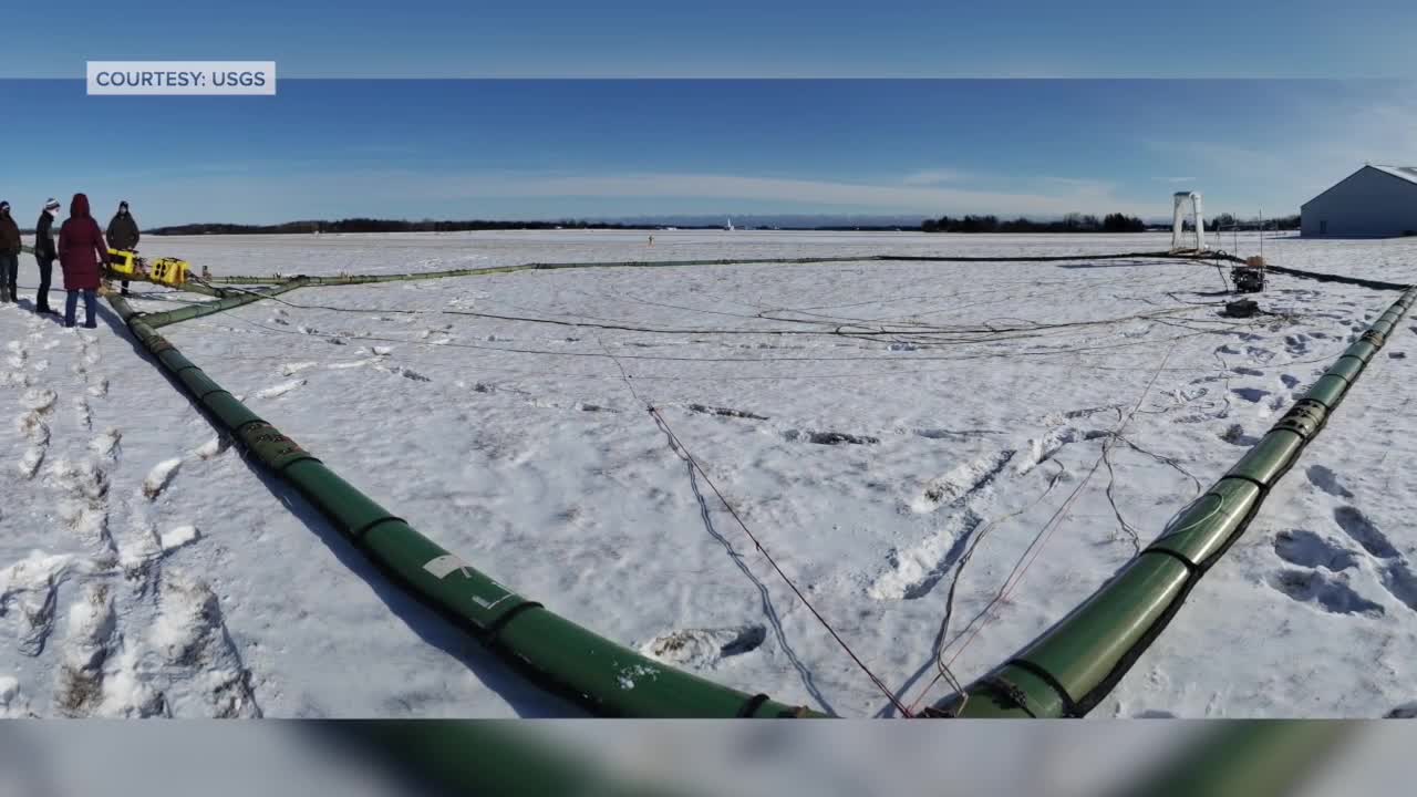
The helicopter flies about 200 feet above ground, towing a large hexagon-shaped hoop about 100 feet below it. The hoop carries instruments that measure differences in Earth's electrical properties and magnetic field created by different rock types underground.
WATCH THE VIDEO STORY
Why Southwest Michigan
Southwest Michigan was chosen for several specific reasons. The region has large quantity water withdrawals for irrigation, agriculture and industry. Certain counties are also experiencing significant population growth, increasing demand for groundwater-based drinking water.
Additionally, some counties in the area are facing groundwater availability issues, having trouble finding access to groundwater for neighbors and other uses.
"About 40% of Michigan's residents rely on drinking water that comes from groundwater. And so being able to know where would be the best locations and at what depth underground is the best spot to install a drinking water well is really important for our residents," Ruhala said.
Raising Questions for Neighbors
Cascade neighbor Michelle Lauer, shared her thoughts on the unusual object.
"The hoop would really throw me, but every time I see a helicopter low enough that I see the details, I worry that there was an accident or my heart always sinks," Lauer said.
When asked what she would think if she saw a helicopter with a huge hoop, Lauer said she'd be suspicious.
"I've never seen a helicopter with a hoop, so I would probably be suspicious. You know, is it gathering information? What is the hoop for? Is it taking pictures?" Lauer said.
No Privacy Concerns
Officials emphasize the aircraft poses no privacy concerns or safety risks.
"There's nothing on board to take photos or videos. So there will be no photos or videos collected. The only thing that's being collected is its essentially electrical measurements," Ruhala said.
The technology is safe and doesn't pose any risk to humans, animals or plant life. Pilots are specially trained and follow Federal Aviation Administration rules, staying at least 500 feet away from buildings and avoiding flying directly over people or grouped animals.
Flight Details and Tracking
The helicopter will fly along predetermined flight lines spaced one mile apart, moving from southwest toward northeast. Neighbors may see the aircraft multiple times, especially while driving around during the survey period.
The helicopter won't fly over more populated areas like the city of Grand Rapids, where infrastructure can interfere with instruments and FAA regulations make flights difficult.
To track flights, click here.
Potential Benefits for Contamination Issues
While the survey focuses on regional water resources, the geological data could provide helpful background information for addressing local contamination issues, including PFAS contamination that Cascade Township is currently dealing with.
"Understanding the geology is important to be able to know how best to clean up the contaminants that may be in the ground at those sites," Ruhala said.
However, the survey won't directly address contamination issues but rather provide geological background information that could assist in investigations.
The flights will continue for about three months through June, weather permitting. A flight tracker is available on the USGS website.
This story was initially reported by a journalist and has been converted to this platform with the assistance of AI. Our editorial team verifies all reporting on all platforms for fairness and accuracy.

