


WEST MICHIGAN — Whether you're hitting the roads or the skies to kickoff the Holiday season, the weather will likely impact your travels. FOX 17 is continuing the WEATHER READY ALERT for Thursday evening, November 27. We're expecting another 1 to 4" of lake effect snow through Friday morning, with some areas seeing more. Strong winds will drive that snow in off Lake Michigan.
The Winter Storm Warnings were canceled earlier Thanksgiving Day, but the Winter Weather Advisories remain in effect through 7 a.m. Friday for Oceana, Muskegon, Ottawa, Allegan, Barry, Van Buren, Kalamazoo, Calhoun, Berrien, Cass and St. Joseph counties.

Another 1-4" of lake effect snow is possible, but impacts will be far less than what we experienced Wednesday and earlier on Thanksgiving Day.
Lake effect bands will be more isolated, so some will end up staying dry. But in spots that have the lake effect bands overhead, snow will accumulate and be blowing around, so brief low visibility is also possible. Be careful driving!

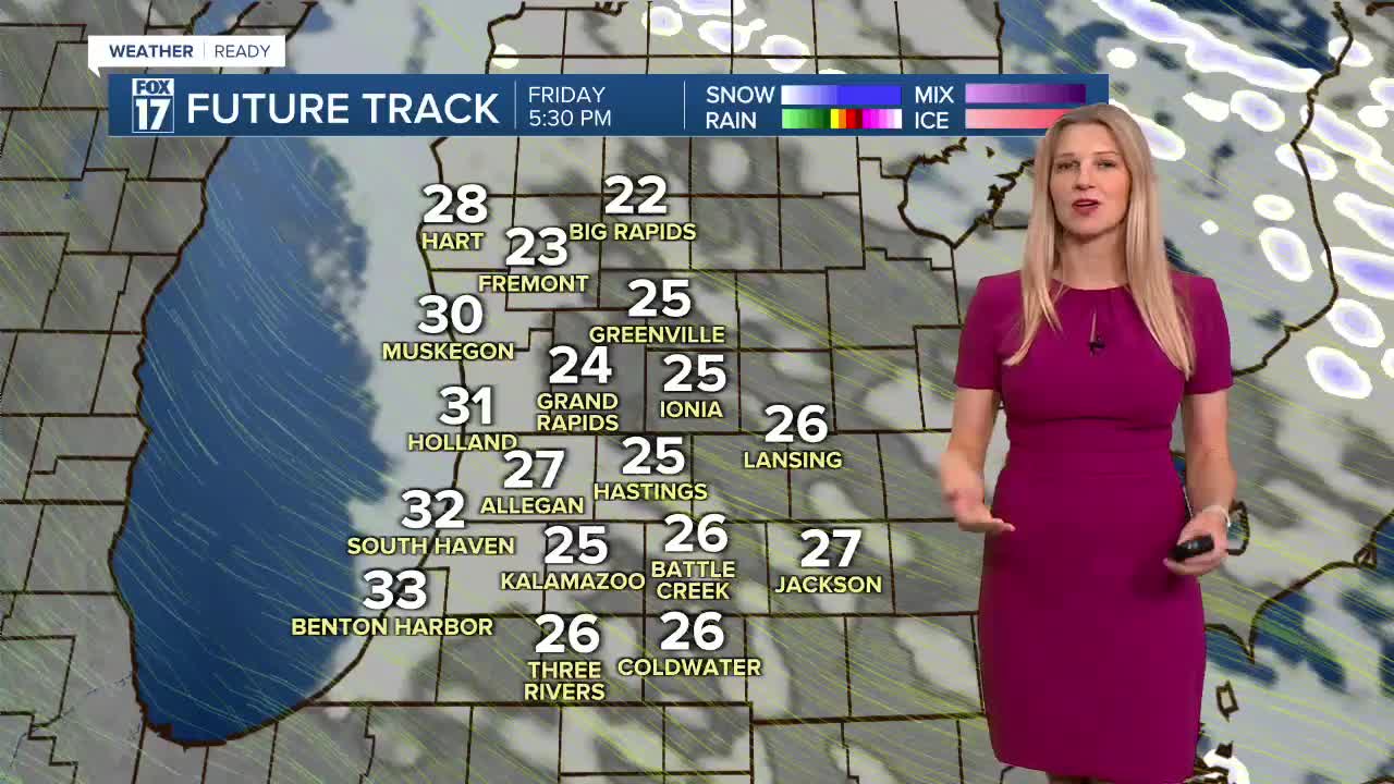
Friday could be the best day of the extended weekend, but it will still be windy & cold with highs in the low 30s and wind chills in the 20s. There is still a chance of lake effect snow, mainly before noon.

WEEKEND WEATHER
Another low pressure system will roll through the region this weekend, with widespread accumulating, plowable snow expected. There is already a WINTER STORM WATCH for this system for another 4-8" of snow. Both weekend days will be WEATHER READY ALERT days. This will also impact travel conditions through the Great Lakes and Upper Midwest.
For the latest details on the weather in West Michigan, head to the FOX 17 Weather page.
Follow FOX 17: Facebook - X (formerly Twitter) - Instagram - YouTube
