


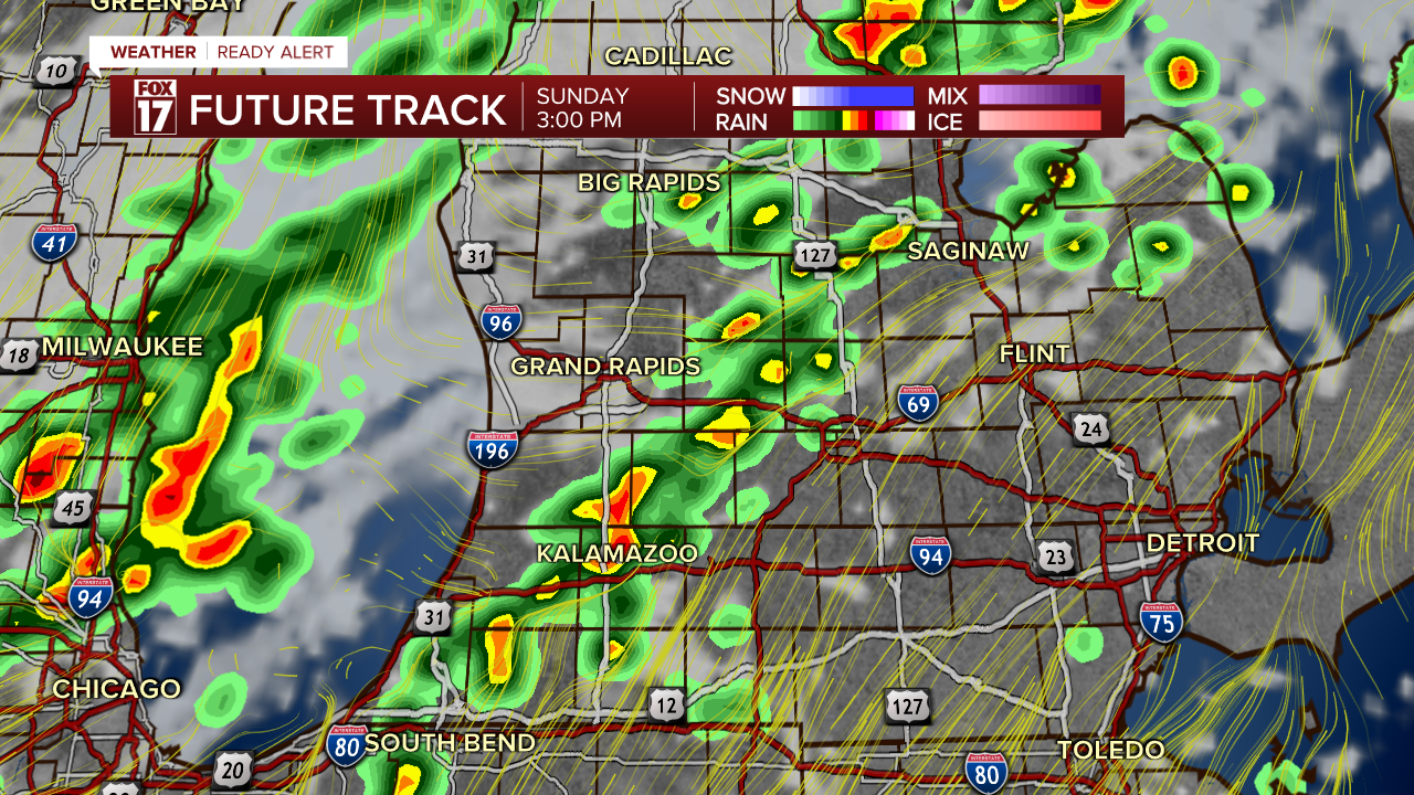
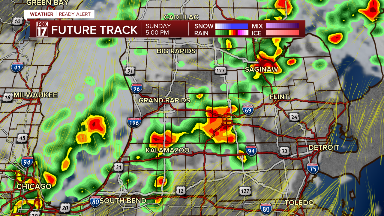
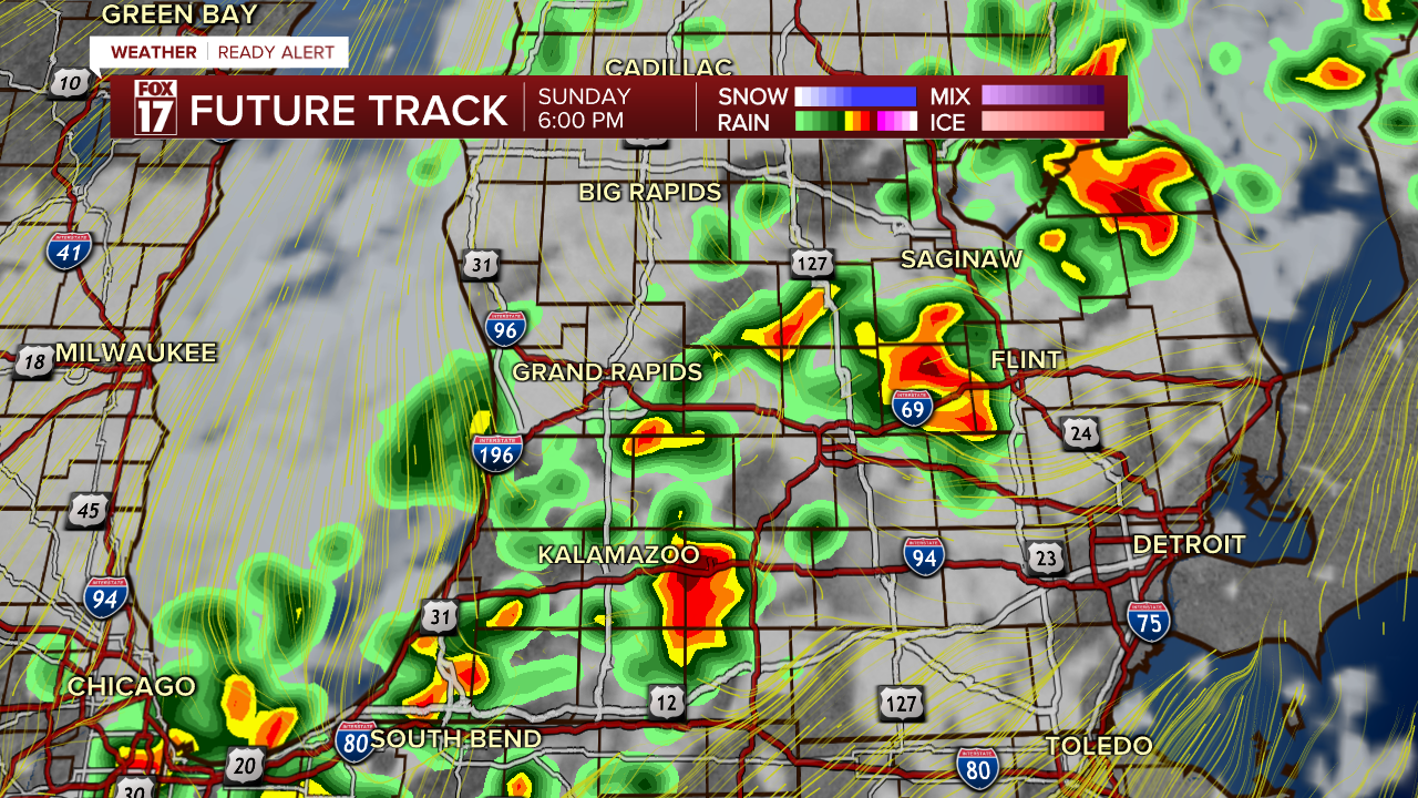
WEST MICHIGAN — Scattered showers and thunderstorms are developing across West Michigan today as a strong cold front moves through the Great Lakes.
These showers and thunderstorms will produce locally heavy downpours, with some locations picking up as much as 1-3 inches of rain! Not every location will receive rain today; so don't cancel your outdoor plans! (Just keep the umbrella handy and an eye on the radar feature of the Fox 17 Weather Ready app!)
Widespread severe weather is not likely, though the Storm Prediction Center has included areas from Grand Rapids to the east and southeast in a Marginal Risk (Level 1 out of 5) for severe storms. In addition to frequent lightning and locally heavy rainfall, strong winds will be the greatest threat in the stronger storms. If there is a severe storm, the most likely time frame for development would be mid-afternoon through early evening.
Here are the hour-by-hour screenshots of the Futurecast; starting at 3PM through 8PM.


For the latest details on the weather in West Michigan, head to the FOX 17 Weather page.
Follow FOX 17: Facebook - X (formerly Twitter) - Instagram - YouTube
