


Friday marked the eleven-year anniversary of the historic Groundhog Day Blizzard of 2011.
Grand Rapids received over 17 inches of snow between February 1st (6.1") and February 2nd (11.1"), 2011. This system brought blizzard conditions to West Michigan for several hours the morning of February 2nd, closing hundreds of schools, businesses, and even Gerald R. Ford International Airport. Here's a look at the highest 2-day snowfall totals from the Blizzard.

For the National Weather Service of Grand Rapids, it was the 5th snowiest 2-day total on record at the time with 17.2". Currently, it is 6th as the Christmas Blizzard of 2022 surpassed 18.0" in a 48-hour span.
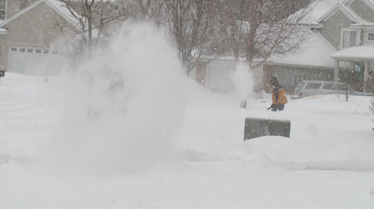
Wind gusts as high as 50 mph across West Michigan created snow drifts over 5 feet in some communities. Strong winds also caused storm surge and localized flooding along the Lake Michigan shoreline in Illinois.

Chicago recorded 21.2" of snow from this Blizzard, with reports of over a foot spanning from Oklahoma to Michigan. Below is an image of the snowfall totals as the system moved across the Midwest.
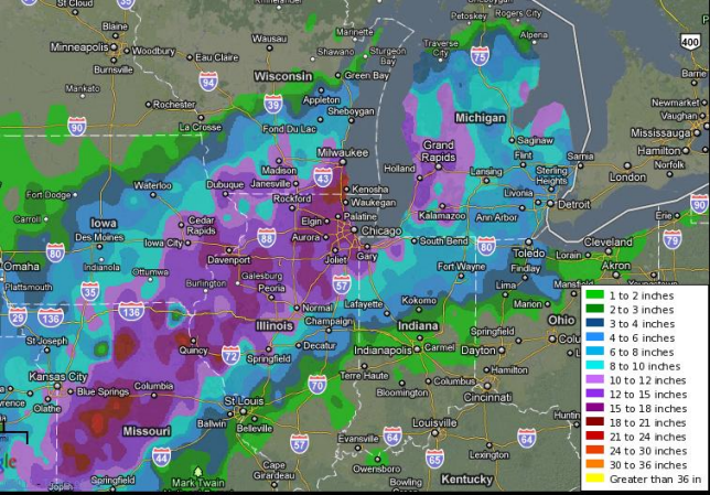
The Groundhog Day Blizzard of 2011 didn’t match the Great Blizzard of 1978, but it still impacted much of the Southwest United States, the Midwest and Eastern and Atlantic Canada. Many areas had significant ice accumulation, as well.
Best news of all, 2024 Groundhog day, and the first week of February in general, features sunshine and temperatures 10 degrees or more above average!
