


WEST MICHIGAN - River levels are already running high here in West Michigan, but more flooding concerns will mount again next week as several rounds of steady to moderate, even heavy rains/storms will be possible from Sunday through Wednesday. While it will not be raining all the time, we expect waves of rain to move through from time to time.
The image attached to this story shows TOTAL PRECIPITATION from Friday morning all the way through 6PM next week Thursday. Keep in mind this is only a forecast model...so it's not reality, but it does give us a good indication as to what might unfold. 2" to 4" of rain will be possible through that time frame...especially from Grand Rapids to the north! River levels will rise and I would expect to see several locations along river basins in moderate to major flooding. If you live along a river/creek/stream, make sure to stay up on later forecasts into next week.
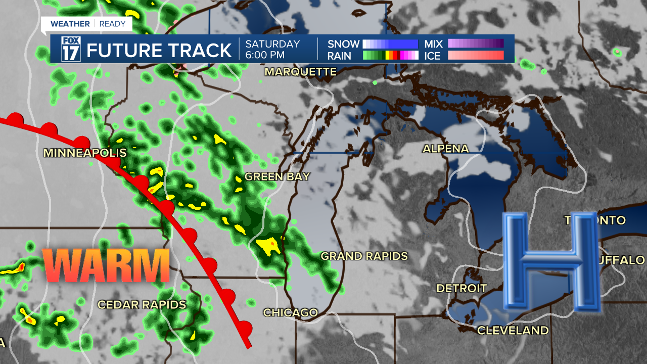
Take a look at the genesis on what will start the flooding rains. See graphic below. That warm front will lift through the state on Sunday morning and bring the chance of rain/storms from Sunday through next Thursday.
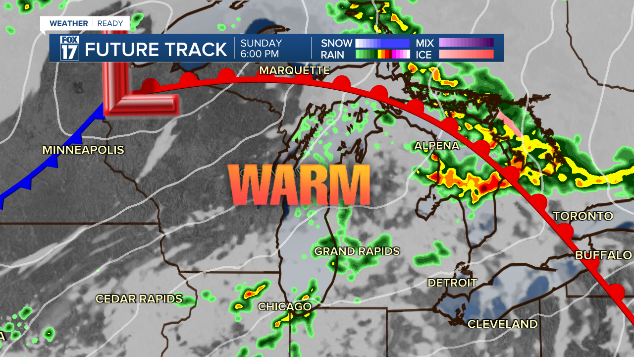
The image below is our forecast model valid for 6PM Sunday. Notice the warm front has already lifted through...and temperatures will warm into the 70s!
Look at how high our precipitation chances are next week (see graphic below). It will not be raining all the time, but several rounds of showers/storms are likely. Some may be strong to severe.

Get the complete West Michigan forecast at www.fox17online.com/weather.
Want alerts when inconvenient or severe weather is headed your way? Download the FOX 17 Weather app and set up notifications for where you live.
For the latest details on the weather in West Michigan, head to the FOX 17 Weather page.
Follow FOX 17: Facebook - X (formerly Twitter) - Instagram - YouTube
