


WEST MICHIGAN — National Weather Service officials have confirmed eight tornadoes touched down across West Michigan with the powerful storms Thursday night.
After the six previously confirmed tornadoes, Monday afternoon the NWS confirmed two additional tornadoes: a quick EF-0 tornado with 75 mph winds from Zeeland Township to James Township, and an EF-1 with 100 mph winds that formed near Orangeville.
The tornado near Orangeville produced tree damage and scattered roof damage near the south end of Gun Lake, and several docks sustained damage as the wind lifted sections out and tossed them into the lake.
This makes two EF-1's with 100 mph winds: Orangeville and another EF-1 that started in Eaton County, near Charlotte, and moved into Lansing.
The other EF-1 tornadoes, both in Allegan County, were estimated to have top wind speeds of 95 mph.
One of those tornadoes touched down near the Sandy Pines Resort Park, and was on the ground for 5.4 miles into Dorr. The second touched down near Martin, and was on the ground for 8.3 miles, crossing Schnable Lake to near the Barry County line.

In Kent County, an EF-1 tornado with estimated top winds speeds of 90 mph touched down in Caledonia and was on the ground for 14.5 miles to Saranac (Ionia County)

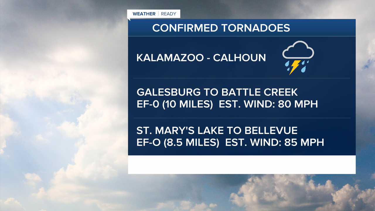
Two EF-0 tornadoes were confirmed in the Kalamazoo-Battle Creek areas. The first touched down in Galesburg and was on the ground for 10-miles to Battle Creek, with estimated top wind speeds of 80 mph. The second touched down near St. Mary's Lake and was on the ground for 8.5 miles to Bellevue, with estimated top wind speeds of 85 mph.
The National Weather Service in Detroit also confirmed 3 tornadoes in their coverage area, making the total May 15 tornado statewide count 11.
Michigan has tallied 27 tornadoes so far in 2025 primarily from 3 severe weather days: March 30, April 2, and now May 15. The average tornado count for the state each year is around 16.
For the latest details on the weather in West Michigan, head to the FOX 17 Weather page.
Follow FOX 17: Facebook - X (formerly Twitter) - Instagram - YouTube
