
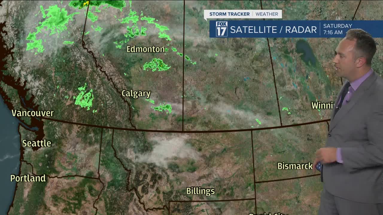


WEST MICHIGAN — Quiet weather is on tap for this afternoon and evening around West Michigan. Expect a mix of sun and clouds as southwest winds shift to the northwest at 10-15 mph.
The Lake Michigan forecast looks a bit more tranquil today versus the past couple of days but still breezy particularly from Holland and southward with waves between 1-3 feet.
The next system to take aim on West Michigan will do so on Sunday, increasing our cloud cover during the hours around daybreak and offering up a chance for showers as early as late morning. Initially, the atmosphere is to be rather stable so thunderstorms are unlikely. Furthermore, it will not be raining at all times Sunday afternoon but the chance for showers is on the table as a disturbance passes overhead.
As the afternoon works into the evening, however, a bit more instability arrives on the scene as temperatures and humidity values nudge upward ahead of an approaching cold front. Heavy rain-producing thunderstorms will become likely. The Storm Prediction Center has West Michigan in a marginal risk for severe weather Sunday evening/early Monday morning. The time table for these heavier, potentially gustier storms would be after 7/8 P.M. The actual cold frontal passage is to be early Monday morning.
It seems as though heavy rain would be the main factor for us locally but we will keep a close eye on storm potential as we go through the next 24-36 hours.
Outside of any storms, the general wind field will be quite brisk on Sunday evening out of the southwest. Waves on Lake Michigan will begin to crank up again and will reach the 5-8 foot range Sunday night from around South Haven and especially northward. Waves will remain active on Labor Day Monday as well with southwest winds shifting to the northwest in the early morning hours. Bottom line, dangerous beach and boating conditions are expected from Sunday into Monday.
Activity scoots out of here early Labor Day Monday morning and leaves us with dry weather and even some sunshine for most hours. High temperatures will be in the lower half of the 70s.
Things begin to get very interesting again late Monday into Tuesday as a sharp boundary will be situated across the viewing area. Periods of rain, some heavy, look to develop late Monday into Tuesday morning before becoming more scattered Tuesday afternoon and evening.
Another round of significant rain could be shaping up at some point Thursday into Friday.
With such a dramatic change in temperatures across this aforementioned boundary and various disturbances riding along the boundary, predicting the exact timing of rainfall and therefore the resultant temperatures is virtually impossible for the middle of the week. Nonetheless, some healthy rainfall totals are likely in the end game.
Stay tuned to FOX 17 for updates and adjustments to the forecast over the next few days.
