
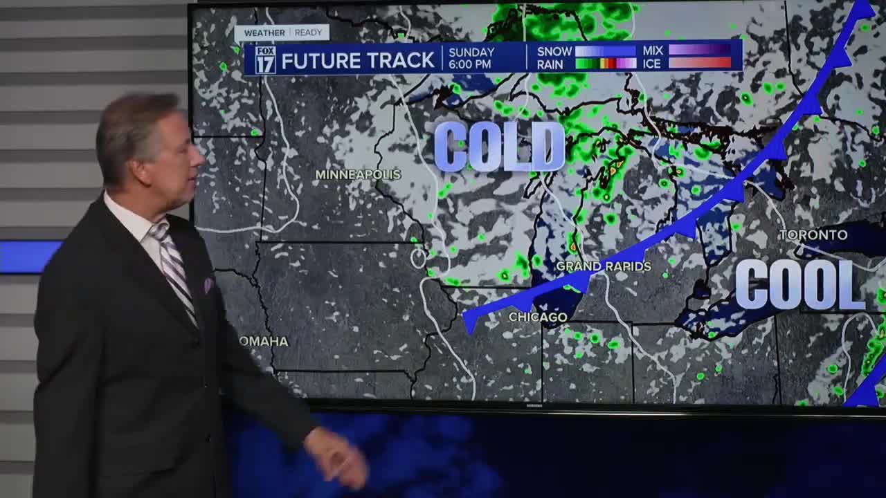


The forecast from FOX 17 Weather Ready Chief Meteorologist Kevin Craig: Saturday will be our last 80 degree day over the next week or so. After some morning clouds and a spotty shower, we expect afternoon sunshine. By Sunday, sharply cooler air arrives with highs only in the lower 70s. Isolated to scattered lake effect and lake enhanced rain showers are possible through Tuesday. We may even see some waterspouts on Lake Michigan with the colder air coming across the relatively warmer waters of the lake. We should start a slow moderating trend in temperatures by mid-week with highs back in the mid/upper 70s. Stay tuned to the FOX 17 Weather Ready Team for your latest forecast updates.
SATURDAY: Morning clouds with a spotty shower possible, otherwise afternoon sunshine and breezy. Highs around 80. Winds southwest/west at 10 to 20 mph.
TONIGHT: Partly cloudy and comfortable. Lows in the upper 50s. Winds west at 5 to 10 mph.
SUNDAY: Variably cloudy and breezy. Feeling "Fall-ish". Cooler with a slight chance of a shower. Highs in the lower 70s. Winds west at 10 to 20 mph.
MONDAY: Partly cloudy to partly sunny. Isolated to scattered showers. Feeling "Fall-ish". Highs in the upper 60s to near 70.
TUESDAY: Partly cloudy. Chance of a shower. Highs near 70.
WEDNESDAY: Mostly sunny to partly cloudy and cool. Highs in the low 70s.
For the latest details on the weather in West Michigan, head to the FOX 17 Weather page.
Follow FOX 17: Facebook - X (formerly Twitter) - Instagram - YouTube
