
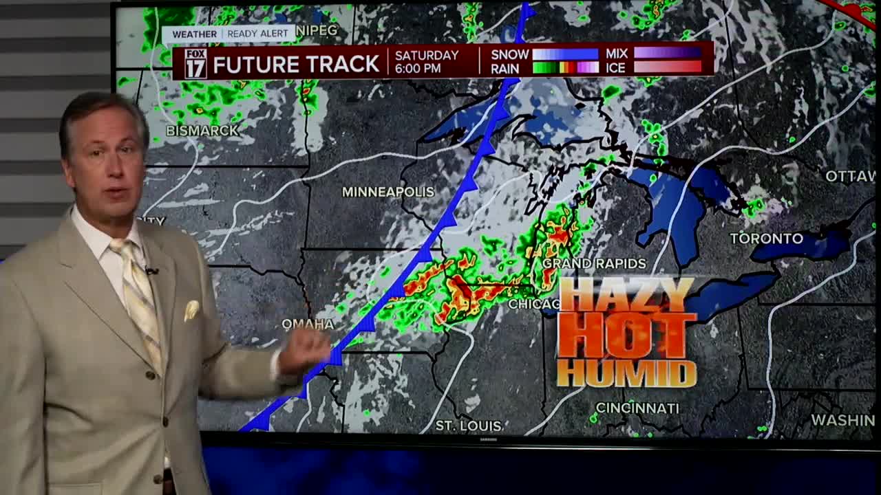


The forecast from FOX 17 Weather Ready Chief Meteorologist Kevin Craig: We will finish this week with another heat wave feels like temperatures in the mid/upper 90s! At the same time, rain/storm chances remain low. Pop up showers or thunderstorms are possible, and more dying storms may move in Saturday afternoon/evening from the north/west. The next best chance for a few thunderstorms comes early next week with the arrival of a cold front. Several counties across West Michigan are facing drought conditions, which will be worsening in the days ahead. We may be able to start seeing the Perseid Meteors in the coming days, which peak August 12/13. This is an annual event and stems from debris from the tail of the comet Swift Tuttle. Stay tuned to the FOX 17 Weather Ready Team for your latest forecast updates. A full sturgeon moon occurs this weekend too.
SATURDAY: WEATHER READY ALERT! Mostly sunny, breezy, hot, and humid. A few dying scattered storms are possible in the afternoon and evening, especially north/west of Grand Rapids. Highs in the lower 90s. Heat index values in the mid/upper 90s. Winds southwest at 10 to 15 mph.
TONIGHT: Mostly clear to partly cloudy, warm, and muggy. Lows in the lower 70s. Winds south at 5 to 10 mph.
SUNDAY: Mostly sunny, hot, and humid. An isolated shower/storm possible. Highs around 90. Heat index values in the mid/upper 90s. Winds southwest at 10 to 15 mph.
MONDAY: Partly cloudy, warm, and humid. Chance of a showers/storms. Highs in the mid/upper 80s.
TUESDAY: Partly cloudy to partly sunny and cooler. Chance of a shower/storm. Highs in the mid 80s.
WEDNESDAY: Chance of an A.M. shower/storm, otherwise partly cloudy. Highs in the mid 80s.
For the latest details on the weather in West Michigan, head to the FOX 17 Weather page.
Follow FOX 17: Facebook - X (formerly Twitter) - Instagram - YouTube
