
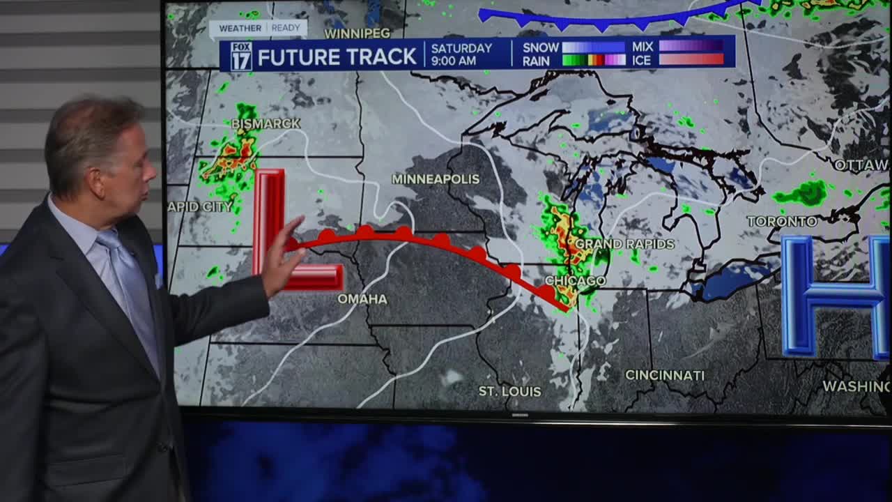


The forecast from FOX 17 Weather Ready Chief Meteorologist Kevin Craig: The only chance for a few scattered showers is Saturday morning, but most of the moisture looks focused in far southwest lower Michigan. We do have a MARGINAL RISK (level 1/5) for severe weather in Berrien County as storm track across the extreme southern portion of Lake Michigan.
A big ridge of high pressure will create a HEAT DOME, providing gradually warming temps into the mid/upper 80s by next week. Along with the late season heat, dry, quiet, mostly sunny conditions are expected to prevail. Watch for our drought conditions to worsen this next week. Our next rain chance doesn't arrive until next Friday at this time. Make sure to stay up to date with the FOX 17 Weather Ready Team for your latest forecast updates.
SATURDAY: A few scattered showers possible, mainly through the morning. A rumble of thunder possible too. Otherwise partly sunny to mostly cloudy. Highs in the mid/upper 70s. Winds southeast/south at 5 to 10 mph.
TONIGHT: Becoming mostly clear. Lows in the upper 50s. Winds east-southeast light.
SUNDAY: Mostly sunny and warm. Highs in the middle 80s. Winds east at 5 to 10 mph.
MONDAY: Mostly sunny and warm. Highs in the mid 80s.
TUESDAY: Mostly sunny and hot. Highs in the upper 80s.
WEDNESDAY: Mostly sunny and hot. Highs in the upper 80s.
THURSDAY: Mostly sunny but an isolated shower is possible. Highs in the middle 80s.
FRIDAY: Partly sunny to mostly cloudy with a chance of showers. Cooler too. Highs in the mid/upper 70s.
For the latest details on the weather in West Michigan, head to the FOX 17 Weather page.
Follow FOX 17: Facebook - X (formerly Twitter) - Instagram - YouTube
