


WEST MICHIGAN — The forecast from FOX 17 Weather Ready Meteorologist Reece Cole: A cold front moving through the state today brings pockets of showers and storms through the late evening. Severe weather is not likely, though a portion of our area is included in a Marginal Risk (Level 1 out of 5) from the Storm Prediction Center for an isolated severe thunderstorm until around 8 P.M.. Not everyone will see the rain, but areas that are fortunate enough to get the showers and storms will pick up some much needed rain. Dew points fall to more comfortable levels to start the week with highs in the middle 80s and partly cloudy skies. Slight chances of rain or weak storms returns Wednesday, but no major widespread rain. Grand Rapids is in a 2 inch rainfall deficit since the start of June! Stay tuned to the FOX 17 Weather Ready Team for your latest forecast updates.
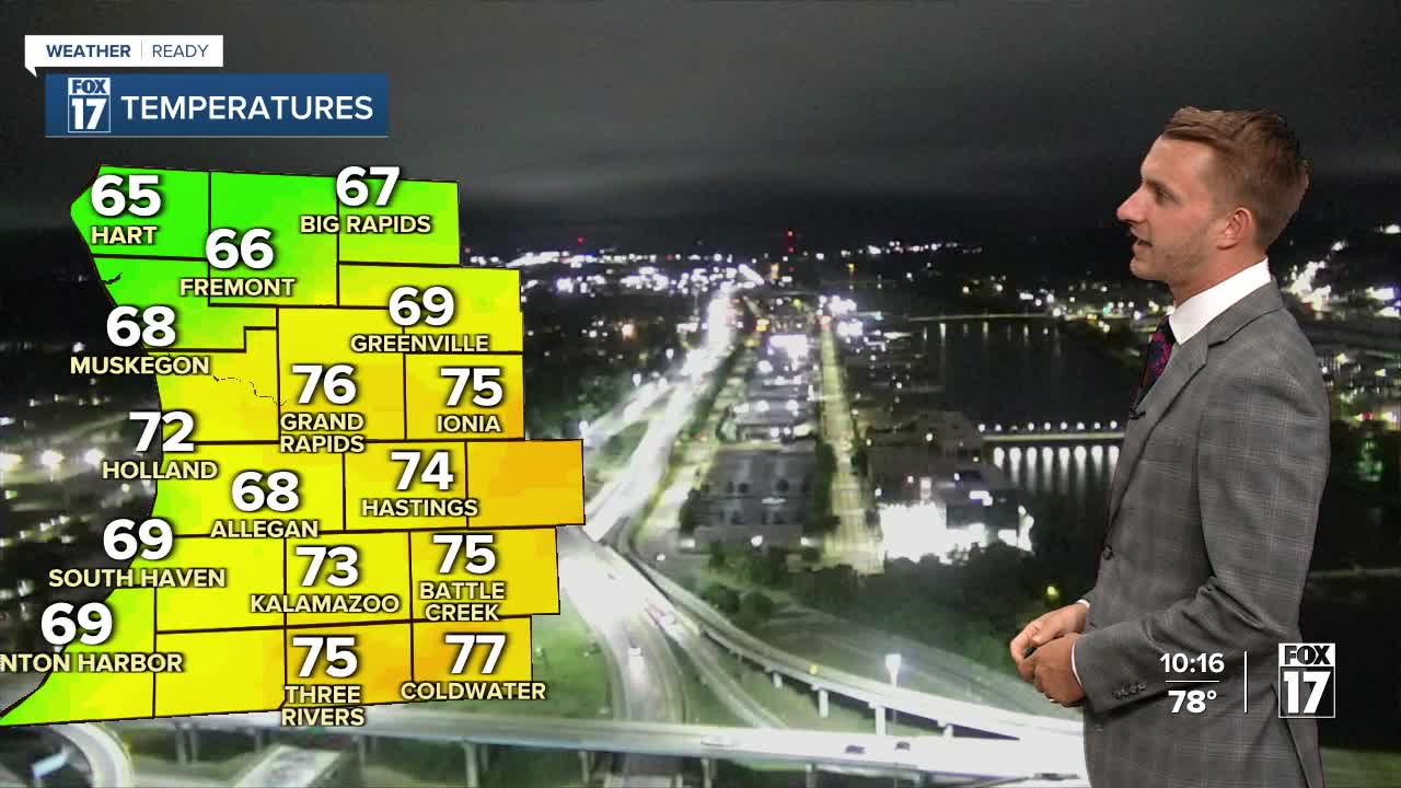
TONIGHT: Drying out under mostly cloudy skies. Lows in the mid-60s. Winds: NW 5-15 mph
MONDAY: Morning clouds, otherwise some afternoon sunshine. A bit cooler and less humid. Highs in the low/mid 80s.
TUESDAY: Mostly sunny and pleasant. Highs in the low/mid 80s
WEDNESDAY: Partly sunny with a chance of showers. Highs in the mid 80s.
THURSDAY: Mostly dry and warmer. Chance isolated shower or storm. Highs in the mid to upper 80s.
FRIDAY: Very warm. Chance few showers and storms. Highs in the upper 80s.
SATURDAY: Very warm and muggy. Chance few showers and storms. Highs in the upper 80s.
SUNDAY: Partly cloudy. Chance shower or storm. Highs in the low to mid 80s.
For the latest details on the weather in West Michigan, head to the FOX 17 Weather page.
Follow FOX 17: Facebook - X (formerly Twitter) - Instagram - YouTube
