
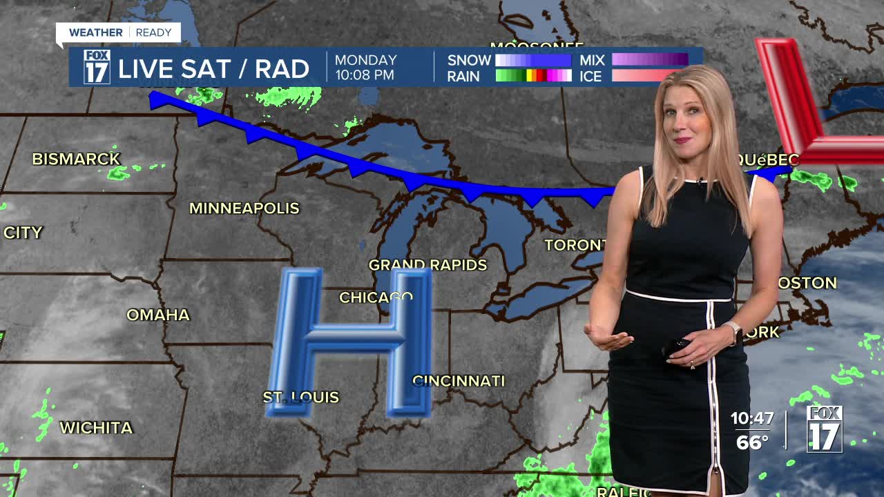


The forecast from FOX 17 Weather Ready Meteorologist Kara James: This spectacular stretch of late summer-like weather is thanks to a huge area of high pressure that will continue to remain in control across the region this week. For comparison: "average" this time of year are highs in the upper 60s and lows in the upper 40s. Unfortunately, even though the dry & warm weather is nice for outdoor activities, the drought conditions will continue to worsen across West Michigan this week. There's no sign of any precipitation coming our way this week...best chances look to be mid-week next week. The tropics woke up last week with Tropical Storm Imelda and Hurricane Humberto. At this point, neither storm is projected to make landfall in the United States. Make sure to stay with the FOX 17 Weather Ready Team for your latest forecast updates.
TONIGHT: Clear and comfortable. Lows in the low/mid 50s. Winds north/northeast light.
TUESDAY: Sunny and warm. Highs near 80. Winds east-northeast at 5 to 15 mph.
WEDNESDAY: Partly cloudy to partly sunny. Highs in the low/mid 70s.
THURSDAY: Partly cloudy. Highs in the mid 70s.
FRIDAY: Mostly sunny and warm. Highs in the lower 80s.
SATURDAY: Partly cloudy to partly sunny. Chance of a few P.M. or night showers. Highs in the lower 80s.
SUNDAY: Partly cloudy and warm. Highs near 80 degrees.
For the latest details on the weather in West Michigan, head to the FOX 17 Weather page.
Follow FOX 17: Facebook - X (formerly Twitter) - Instagram - YouTube
