

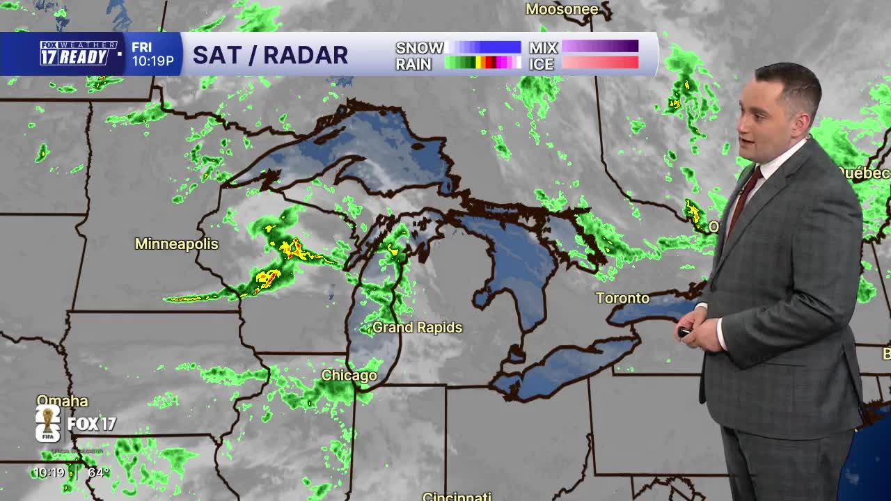


WEST MICHIGAN — The forecast from FOX 17 Weather Ready Meteorologist Colton Cichoracki: We have seen some nice weather to wrap up the week but a few showers are possible Friday night as a weak disturbance passes through. That system will not be all that significant and only a few showers will be possible. Lows tonight are in the middle 50s. On Saturday, a stray shower is possible early but most will stay dry with a few passing clouds. It will be a breezy but nice day with highs in the 70s. Summer officially begins on Sunday at 4:24 A.M but summer heat will not be in the cards. We will stay in the 70s on Sunday. For any Father's Day plans, there will be a system passing to our south in the afternoon. This could bring a few showers or storms to areas along and south of I-94. Temperatures remain cool through next week with continued highs in the 70s, lows in the 50s, and occasional chances for rain.
TONIGHT: Increasing clouds with a few showers. Lows in the mid 50s. Wind WSW at 5-10 mph.
SATURDAY: Chance spotty showers early, then turning mostly sunny. Highs in the low/mid 70s. Breezy, Wind W at 10-20 mph.
SUNDAY: Partly cloudy with a chance of P.M. and night showers/storms in southern neighborhoods. Highs in the low 70s.
MONDAY: Chance showers and storms early, then partly cloudy. Highs in the mid 70s.
TUESDAY: Partly cloudy with highs in the mid 70s.
WEDNESDAY: Partly cloudy with chance showers and iso. thunderstorms. Highs in the mid 70s.
THURSDAY: Partly cloudy with chance showers. Highs in the mid 70s.
FRIDAY: Partly cloudy. Highs in the mid 70s.
Want alerts when inconvenient or severe weather is headed your way? Download the FOX 17 Weather app and set up notifications for where you live.
For the latest details on the weather in West Michigan, head to the FOX 17 Weather page.
Follow FOX 17: Facebook - X (formerly Twitter) - Instagram - YouTube
