

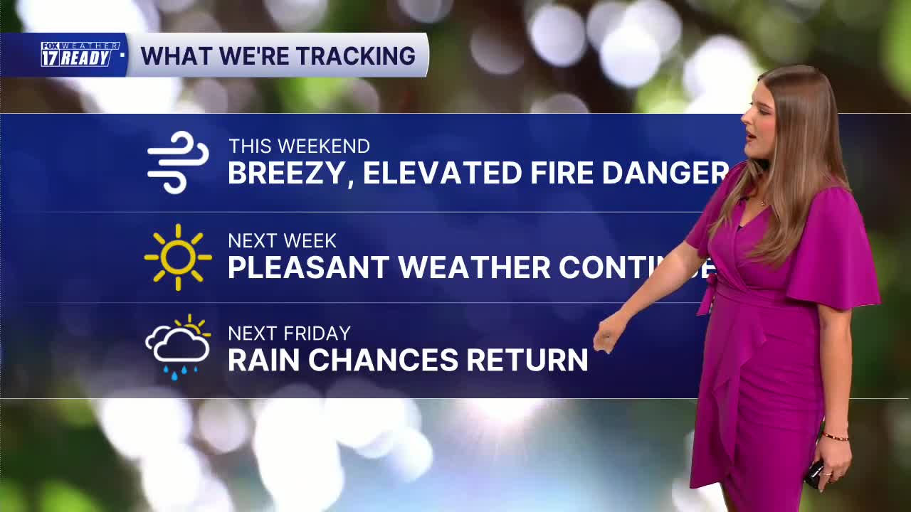



WEST MICHIGAN — The forecast from FOX 17 Weather Ready Meteorologist Gracyn Freund: The weather pattern for West Michigan for the next week continues to stay dry, warm and breezy at times. The Omega blocking pattern in the jet stream is forcing warm air all the way up into southern Canada, and any low pressure systems are being pushed into the Northeast or Hudson Bay area.
Behind last night's cold front, it will be a cooler day today with highs in the low/mid 70s and gusty winds. Combined with dry air and low humidity, fire danger is elevated today, so be mindful of outdoor burning or anything that could create sparks. If you're going to Lake Michigan this weekend, wave heights will stay around 1-2 feet both days. Highs through next Thursday climb a few degrees each day, going from the 70s to the low/mid 80s, and staying sunny. Take advantage of this nice weather while we have it! Expect overnight lows in the upper 40s to lower 50s. This dry and warm pattern will not break down until late next week, with our next rain chance holding off until next Friday.
TODAY: Mostly sunny and breezy. Highs in the low/mid 70s. Wind E at 10-15 mph, gusts 25 mph.
TONIGHT: Partly cloudy to mostly clear. Lows in the upper 40s/lower 50s. Wind E at 5-10 mph.
SUNDAY: Mostly sunny with highs in the mid 70s. Wind SE turning NW at 5-10 mph.
MONDAY: Mostly sunny with highs in the mid/upper 70s.
TUESDAY: Mostly sunny with highs in the upper 70s near 80.
WEDNESDAY: Mostly sunny with highs in the low 80s
THURSDAY: Partly cloudy with highs in the low 80s. A few showers are possible at night.
FRIDAY: Partly to mostly cloudy with scattered showers through the day. Highs in the mid-80s.
Want alerts when inconvenient or severe weather is headed your way? Download the FOX 17 Weather app and set up notifications for where you live.
For the latest details on the weather in West Michigan, head to the FOX 17 Weather page.
Follow FOX 17: Facebook - X (formerly Twitter) - Instagram - YouTube
