


WEST MICHIGAN — The forecast from FOX 17 Weather Ready Meteorologist Terri DeBoer: It's going to feel like a "mid-Summer" re-run across West Michigan for the next several days, as a huge area of high pressure brings loads of sunshine and unseasonably warm air into the region. Our "average" highs for mid-September are in the mid-70s. Starting today, highs will reach the low-mid 80s; and will soar into the upper 80s to near 90-degrees by the middle of the week. Along with the late season heat, dry, quiet, mostly sunny conditions are expected to prevail. Watch for our drought conditions to worsen this next week. Our next rain chance isn't likely until at least Friday. Make sure to stay up to date with the FOX 17 Weather Ready Team for your latest forecast updates.

TODAY: Mostly sunny and warm. Highs in the middle 80s. Winds: SE 5-10 mph

TONIGHT: Clear and comfortable. Lows in the upper 50s. Winds: SE 5-10 mph
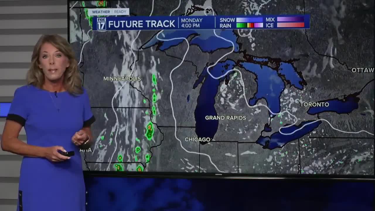
MONDAY: Mostly sunny and warm. Highs in the mid 80s. Winds: SE 5-10 mph
TUESDAY: Mostly sunny and much warmer. Highs in the upper 80s.
WEDNESDAY: Mostly sunny and much warmer. Highs in the upper 80s.
THURSDAY: Mostly sunny but an isolated shower is possible. Highs in the middle 80s.
FRIDAY: Partly sunny with the chance of a shower or thunderstorm. Not as warm. Highs in the mid/upper 70s.
SATURDAY: Partly sunny with the chance for a few showers and thunderstorms. Highs in the low 70s.
SUNDAY: Variable cloudiness and cooler. Highs in the upper 60s.
For the latest details on the weather in West Michigan, head to the FOX 17 Weather page.
Follow FOX 17: Facebook - X (formerly Twitter) - Instagram - YouTube
