

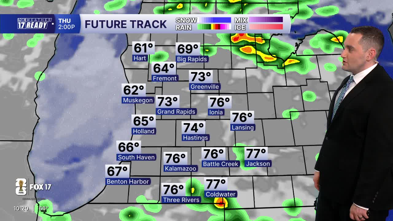


WEST MICHIGAN — The forecast from FOX 17 Weather Ready Meteorologist Colton Cichoracki: A quiet and comfortable evening and overnight are ahead before our next chance for rain moves in tomorrow morning. Showers will be on and off during the early part of the day, with thunderstorms possible in the afternoon ahead of a cold front. Severe storms are not expected, but a few storms could be strong at times with gusty winds. The front will move through late Wednesday night, with a few showers lingering early Thursday morning. After that system comes through, a big warm-up is ahead, with an extended stretch of dry but increasingly warm and humid weather. Summertime warmth arrives in West Michigan Saturday with highs in the 80s, and even hotter weather by early next week—there will be several days with potential to hit 90 degrees! With increasing humidity the heat index will rise to near 100 as well.
TONIGHT: Partly cloudy. Lows in the mid 50s. Calm wind.
WEDNESDAY: Mostly cloudy with showers early, and afternoon and evening showers and thunderstorms likely. Highs in the low 70s.
THURSDAY: Chance few showers early, then partly cloudy. Highs in the mid 70s.
FRIDAY: Partly cloudy. Highs in the upper 70s.
SATURDAY: Partly cloudy and warmer. Highs in the low 80s.
SUNDAY: Partly cloudy and even warmer. Highs in the mid 80s.
MONDAY: Partly cloudy to mostly sunny, warm and humid. Highs in the upper 80s.
TUESDAY: Partly cloudy, hot and humid with highs around 90.
Want alerts when inconvenient or severe weather is headed your way? Download the FOX 17 Weather app and set up notifications for where you live.
For the latest details on the weather in West Michigan, head to the FOX 17 Weather page.
Follow FOX 17: Facebook - X (formerly Twitter) - Instagram - YouTube
