


WEST MICHIGAN — The forecast from FOX 17 Weather Ready Meteorologist Terri DeBoer: Skies will remain clear tonight into early Monday morning. Areas of fog may form for the Monday morning commute, but shouldn't be as widespread as the Sunday morning fog. Plenty of sunshine will fill the skies for Monday, with highs in the low 70s. Highs will approach 70-degrees again Tuesday, and slip into the 60s for the rest of the week. "Average" highs are now in the low 60s, so temperatures will likely be 5-10 degrees above average through this week and into the weekend. Temperatures early Thursday morning may slip into the mid-30s in some inland areas, creating the best chance for scattered frost. At this point, widespread frost is not a concern for much of this week, as morning temperatures (other than Thursday morning) will hold in the 40s to near 50-degrees through much of the week. Unfortunately, most of the Lower Peninsula remains in a moderate to severe drought, and only isolated rain chances are possible this week. There are indications of widespread rain finally arriving by the weekend. Stay with the FOX 17 Weather Ready Team for your latest forecast updates.
TONIGHT: Mostly clear. Not as cold. Patchy fog possible. Lows near 50-degrees. Winds: Lt. and Variable
MONDAY: Patchy morning fog. Mostly sunny and mild with highs in the low 70s.
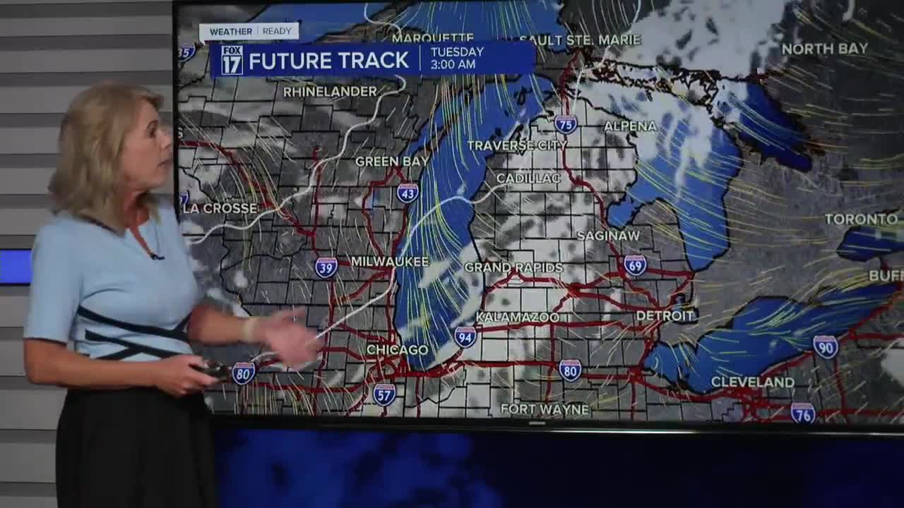
TUESDAY: Mostly sunny with highs around 70. **Slight chance shower late Tuesday night into early Wednesday morning
WEDNESDAY: Partly cloudy with highs in the mid-60s.
THURSDAY: Partly cloudy with highs in the low to mid 60s.
FRIDAY: Partly cloudy. Slight Chance Showers developing toward evening. Highs in the upper-60s.
SATURDAY: Widespread shower likely. Highs in the mid-60s.
SUNDAY: Chance scattered showers. Highs in the mid-60s.
For the latest details on the weather in West Michigan, head to the FOX 17 Weather page.
Follow FOX 17: Facebook - X (formerly Twitter) - Instagram - YouTube
