


WEST MICHIGAN — The forecast from FOX 17 Weather Ready Meteorologist Gracyn Freund: Showers and thunderstorms continue moving through the area this morning. While West Michigan was under a Marginal risk for severe storms overnight, that threat has now shifted off to our east for today. However, a few storms early this morning could be on the strong side and produce gusty winds and heavy downpours, enough rain to create flooding in prone areas. Rain and storms will gradually end Saturday afternoon but rain totals could add up to 1-2". Temperatures will be in the upper 50s to lower 60s Saturday. For Easter Sunday, we will be mostly dry outside of a few flurries or sprinkles. Highs will be in the lower 40s, and it will be breezy. Next week, a weak system could bring a few rain/snow showers Monday but a warm-up is coming by the end of the week.
TODAY: Rain and thunderstorms, then becoming mostly cloudy. Highs in the low/mid 60s. SW wind 15-25.
TONIGHT: Cloudy and breezy. Lows in the mid 30s. W wind 15-25.
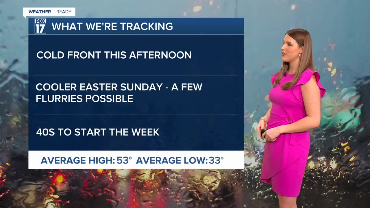
EASTER SUNDAY: Mostly cloudy and cooler. Flurries or sprinkles possible. Highs in the middle 40s.
MONDAY: A few rain/snow showers possible. Highs in the mid/upper 40s.
TUESDAY: Partly cloudy to partly sunny and cool. Highs in the low 40s.
WEDNESDAY: Mostly cloudy. Highs in the upper 50s.
THURSDAY: Chance rain showers. Highs in the upper 50s.
FRIDAY: Chance rain showers. Highs in the mid 50s.
Follow FOX 17: Facebook - X (formerly Twitter) - Instagram - YouTube
