

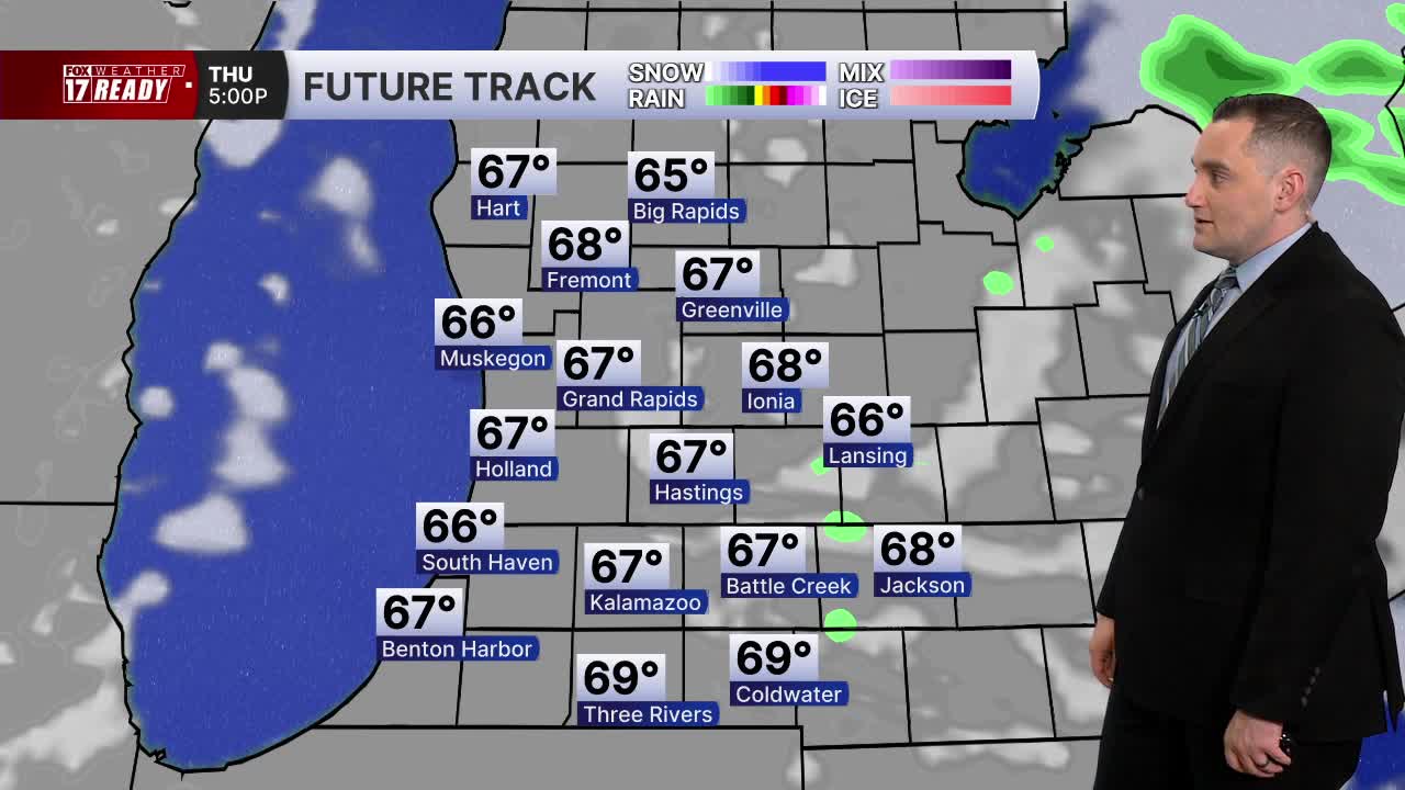


WEST MICHIGAN — The forecast from FOX 17 Weather Ready Meteorologist Colton Cichoracki: The overall risk for severe weather has gone down significantly and only a marginal risk is in place. The risk for flooding has also diminished and the Flood Watch has been canceled. Scattered rain and storms are likely overnight. While the chance for severe weather is low, it is not zero and some gusty winds or hail may still be possible. Most rain ends around midnight. A few showers will linger tomorrow while temperatures stay in the upper 60s. Friday and Saturday will be cool but mostly sunny, with highs in the low to mid 70s. Sunday marks the official start of summer at 4:24 A.M.. It's the summer solstice...the precise time the sun is as far north of the equator as it will ever get (23.5 degrees) and marks the longest day of the year. However, it won't be feeling like summer...highs remain in the low 70s, with the next week remaining in the 70s with occasional rain and storm chances.
TONIGHT: Partly cloudy with a few spotty showers and storms. Lows in the upper 50s. Wind turning W at 5-15 mph.
TOMORROW: Cloudy with a chance of showers early, otherwise partly cloudy and cool. Highs in the upper 60s near 70. Breezy, Wind WNW at 10-20 mph.
FRIDAY: Mostly sunny with highs in the lower 70s.
SATURDAY: Mostly sunny with highs in the mid 70s.
SUNDAY: Partly cloudy with a chance of P.M. and night showers/storms. Highs in the low 70s.
MONDAY: Chance showers and storms early, then partly cloudy. Highs in the mid 70s.
TUESDAY: Partly cloudy with chance showers. Highs in the mid 70s.
WEDNESDAY: Partly cloudy with highs in the mid 70s.
Want alerts when inconvenient or severe weather is headed your way? Download the FOX 17 Weather app and set up notifications for where you live.
For the latest details on the weather in West Michigan, head to the FOX 17 Weather page.
Follow FOX 17: Facebook - X (formerly Twitter) - Instagram - YouTube
