
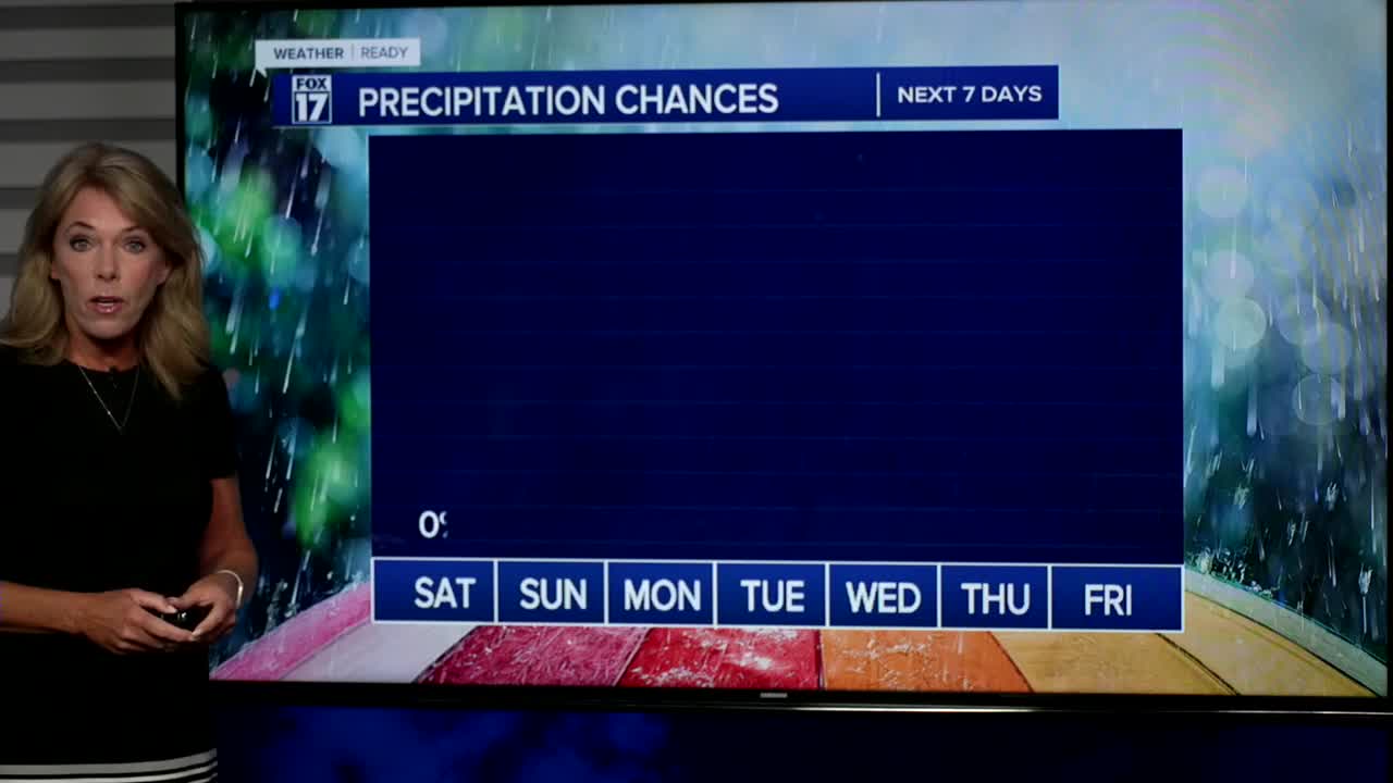


WEST MICHIGAN — The forecast from FOX 17 Weather Ready Meteorologist Terri DeBoer: A statewide AIR QUALITY ADVISORY is in effect today due to Canadian wildfire smoke. The smoke is coming around the eastern edge of a high pressure settling in to the Great Lakes region. This is also a cool high, bringing more comfortable temperatures and humidity levels. Highs will reach the low 80s today and tomorrow with hazy sunshine and low humidity. Overnight lows the next several mornings will be comfortable in the 50s too. Dry conditions continue through much of the week, so little drought relief is on the way. Highs creep back into the middle and upper 80s by mid week, along with very isolated shower chances. We may be able to start seeing the Perseid Meteors in the coming days, but they don't peak until August 12/13. This is an annual event and stems from debris from the tail of the comet Swift Tuttle. Stay tuned to the FOX 17 Weather Ready Team for your latest forecast updates.
TODAY: AIR QUALITY ADVISORY Mostly sunny, smoky haze, but pleasant. Highs in the lower 80s. Winds northeast at 5 to 10 mph.
TONIGHT: Mostly clear and comfortably cool. Lows in the mid-50s. Winds: SE 5-10 mph
SUNDAY: Mostly sunny with lingering haze. Highs in the low/mid 80s. Winds: SE 5-10 mph
MONDAY: Mostly sunny to partly cloudy and warmer. Highs in the mid 80s.
TUESDAY: Mostly sunny to partly cloudy. Warmer, more humid. Highs in the mid 80s.
WEDNESDAY: Partly cloudy, warm, and bit humid. Highs in the mid/upper 80s.
THURSDAY: Partly cloudy, warmer, with an isolated thunderstorm chance. Highs in the mid/upper 80s.
FRIDAY: Partly cloudy with scattered showers and storms possible. Highs near 90.
For the latest details on the weather in West Michigan, head to the FOX 17 Weather page.
Follow FOX 17: Facebook - X (formerly Twitter) - Instagram - YouTube
