


WEST MICHIGAN — The forecast from FOX 17 Weather Ready Meteorologist Kara James: A statewide AIR QUALITY ADVISORY remains in effect through tomorrow due to Canadian wildfire smoke. Fires are burning out of control in Canada, and the smoke is coming around the eastern edge of a high pressure center overhead. Highs will warm up a few degrees each day as the high pressure nudges east, but even as temperatures climb into the middle and upper 80s it will be comfortable with low humidity levels. Lows will slowly creep into the middle and upper 60s by late week but will be overall comfortable. It does look to be a dry week, with little in terms of rainfall chances until next weekend. Many inland areas will approach 90-degrees Friday and Saturday. We may be able to start seeing the Perseid Meteors in the coming days, but they don't peak until August 12/13. This is an annual event and stems from debris from the tail of the comet Swift Tuttle. Stay tuned to the FOX 17 Weather Ready Team for your latest forecast updates.
TONIGHT: Mostly clear. Comfortable. Lows near 60 degrees. Winds: SE 5 mph
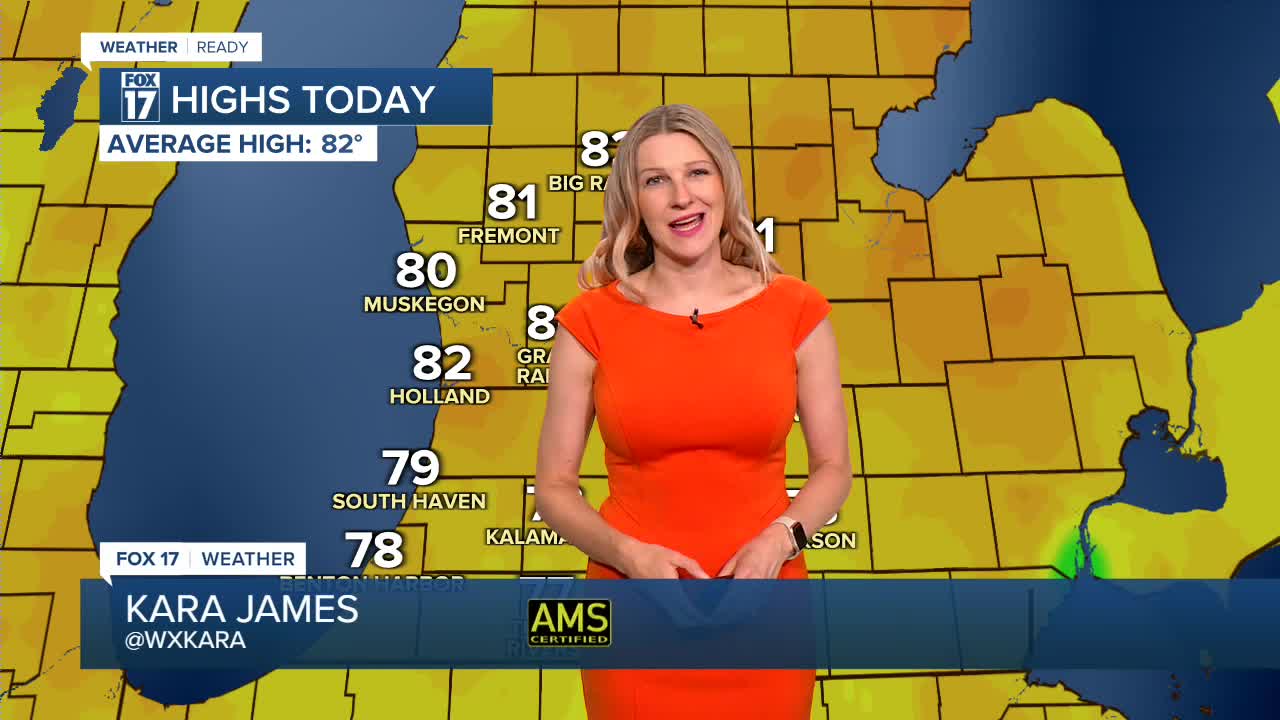
MONDAY: AIR QUALITY ADVISORY. Mostly sunny to partly cloudy and warmer. Highs in the mid 80s.
TUESDAY: Mostly sunny to partly cloudy. Highs in the mid to upper 80s.
WEDNESDAY: Partly cloudy, warm, and bit humid. Highs in the mid/upper 80s.
THURSDAY: Partly cloudy, warmer, with an isolated thunderstorm chance. Highs in the mid/upper 80s.
FRIDAY: Mostly Sunny and Hot. Highs near 90.
SATURDAY: Mostly Sunny and Hot. Highs near 90.
SUNDAY: Partly cloudy and warm, with an isolated thunderstorm possible. Highs in the upper 80s.
For the latest details on the weather in West Michigan, head to the FOX 17 Weather page.
Follow FOX 17: Facebook - X (formerly Twitter) - Instagram - YouTube
