

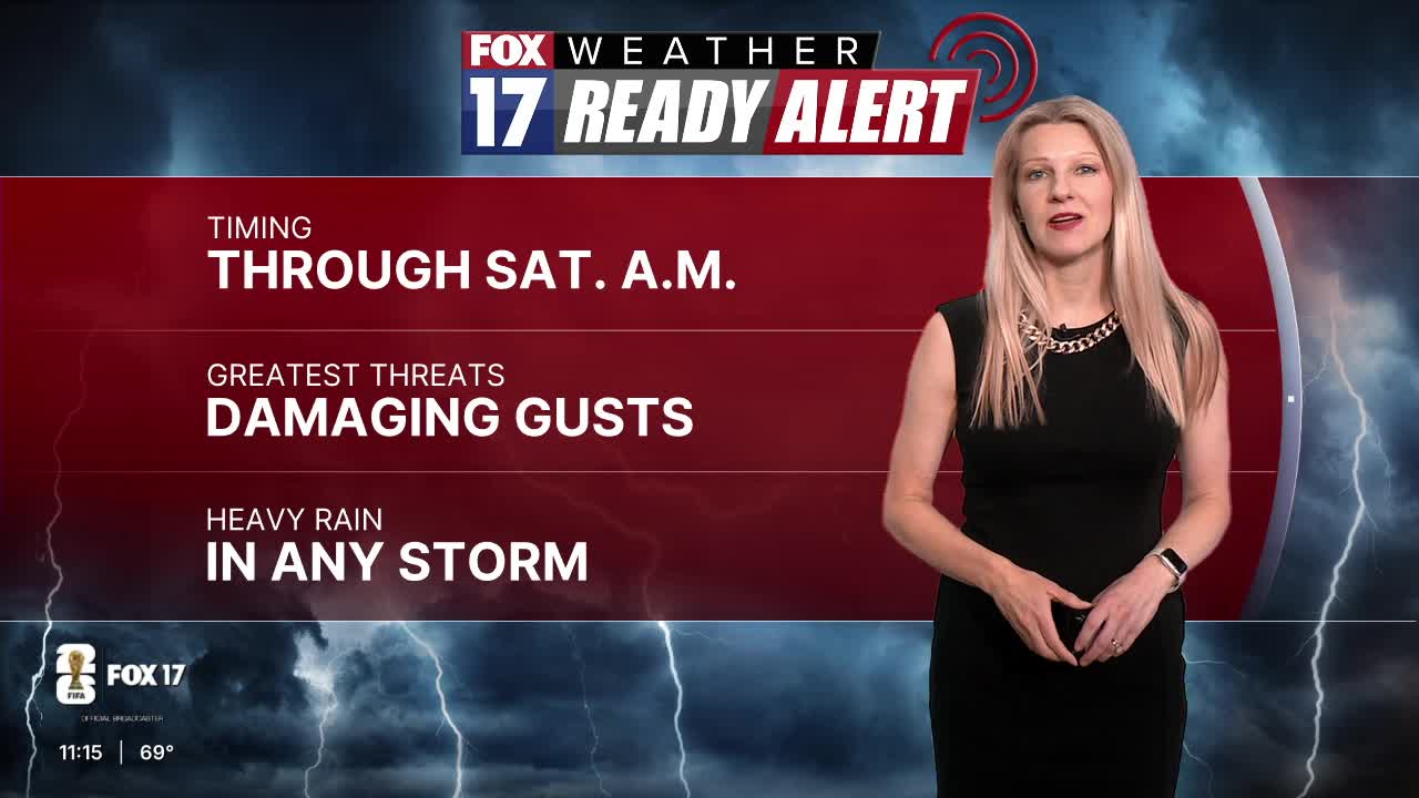



WEST MICHIGAN — The forecast from FOX 17 Weather Ready Meteorologist Kara James: A WEATHER READY ALERT continues overnight for the chance of a few strong to briefly severe storms from now to around 6 a.m.. West Michigan remains in a Marginal Risk (level 1/5) for isolated severe storms with gusty winds and hail the main threats, along with heavy rain. Rain and storms will continue overnight and into early Saturday morning before a cold front moves through and ends our chance for rain. Rain totals from this system will be between 0.5-1", with isolated higher totals possible in the heaviest downpours. The rest of the weekend will be dry and warm, but still very humid. The heat and humidity turn up even more into next week with highs in the mid 80s and heat index temperatures even higher. It will definitely be feeling like summer!
TONIGHT: WEATHER READY ALERT. A few storms overnight could be briefly strong to severe. Damaging wind gusts and small hail are the biggest threats. Storms will also have heavy downpours. Lows in the low/mid 60s. Wind W/SW at 5-15 mph.
SATURDAY: Showers and storms likely in the morning, then becoming partly cloudy. Highs in the upper 70s around 80 and humid. Wind W at 10-15 mph.
SUNDAY: Mostly sunny, warm, and humid. Highs in the low 80s.
MONDAY: Partly cloudy with chance showers during the afternoon and evening. Warmer and humid. Highs in the mid 80s.
TUESDAY: Partly cloudy with chance showers and thunderstorms. Highs in the mid 80s.
WEDNESDAY: Partly cloudy with chance showers and storms. Highs in the mid 80s.
THURSDAY: Partly cloudy to mostly sunny, hot and humid. Highs in the upper 80s.
Want alerts when inconvenient or severe weather is headed your way? Download the FOX 17 Weather app and set up notifications for where you live.
For the latest details on the weather in West Michigan, head to the FOX 17 Weather page.
Follow FOX 17: Facebook - X (formerly Twitter) - Instagram - YouTube
