


WEST MICHIGAN — The forecast from FOX 17 Meteorologist Anthony Domol: A strong cold front is expected to push into the area this late afternoon, bringing a chance for thunderstorms and some of those could be strong. West Michigan has a MARGINAL risk for severe weather this evening, with the main threats being strong winds and heavy downpours. Winds will remain strong through the day, generating potentially dangerous swimming conditions and high wave heights. Beach Hazards Statements and Small Craft Advisories are in effect until 10 p.m. this evening. By Monday, dry weather returns with gradually lower dew points. That means it may still feel humid on Monday morning, but by late in the day it'll be much more refreshing. Most of next week looks to stay dry and comfortable with highs in the upper 70s and lows in the 50s.
TONIGHT: Partly cloudy with lingering showers and a few thunderstorms. Lows in the upper 60s. Westerly winds at 5 to 15 mph.
TOMORROW: Becoming partly cloudy and gradually less humid with highs in the low 80s. West northwest winds at 5 to 15 mph.
TUESDAY: Partly cloudy and pleasant. Highs in the upper 70s.
WEDNESDAY: Mostly sunny and pleasant. Highs in the upper 70s.
THURSDAY: Mostly sunny and pleasant. Highs in the upper 70s.
FRIDAY: Partly cloudy and pleasant. Highs in the upper 70s.
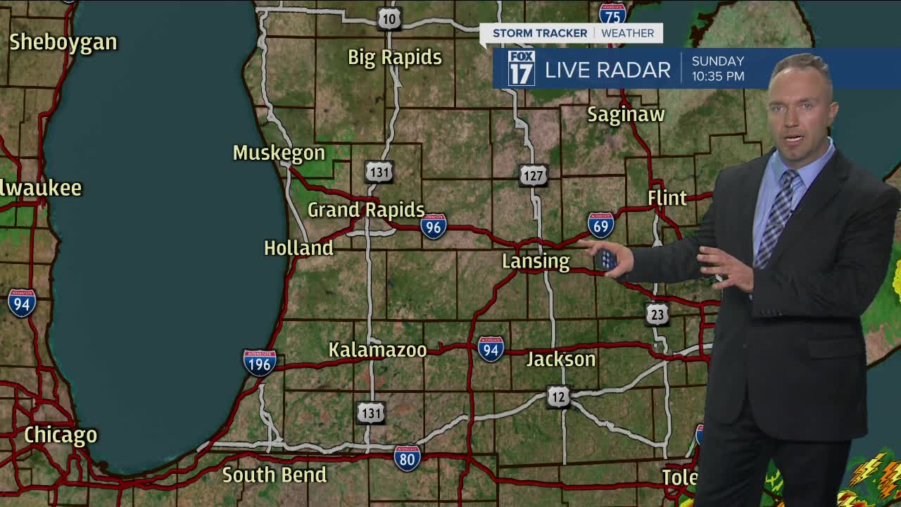
For the latest details on the weather in West Michigan, head to the FOX 17 Weather page.
