
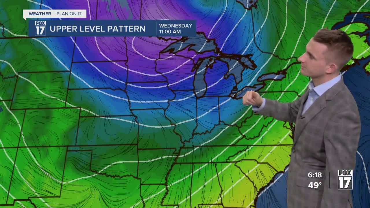


WEST MICHIGAN — The forecast from FOX 17 Meteorologist Reece Cole: Scattered showers and storms remain until 6/7 P.M. this evening. Some may be strong to severe with damaging wind gusts as the primary threat. The isolated tornado threat has decreased, thankfully. We are under a SLIGHT RISK for severe weather this afternoon from the Storm Prediction Center. That's a LEVEL 2 out of 5. These storms arrive ahead of a cold front, whild will bring sharply cooler air Wednesday and Thursday with highs in the upper 30s near 40 and a brisk west breeze. A stray flurry is possible early Wednesday morning, but most of the day will see a slow decrease in cloud cover, leading to sunshine for Thursday and Friday. Stay alert with the FOX 17 Weather Team.
TONIGHT: Chance of a few evening showers, otherwise mostly cloudy and breezy. Lows in the lower 30s. Winds southwest at 10 to 20 mph.
WEDNESDAY: Morning clouds and a few flurries possible. Sunshine returns in the afternoon or evening. Breezy and sharply colder too. Highs in the upper 30s to around 40. Winds west-southwest at 10 to 20 mph.
THURSDAY: Mostly sunny. Highs in the lower 40s.
FRIDAY: Morning sunshine, increasing afternoon clouds. Chance of P.M. and night showers. Highs in the lower 50s.
SATURDAY: Mostly cloudy with a chance of showers...mainly through the morning. Highs in the upper 40s.
For the latest details on the weather in West Michigan, head to the FOX 17 Weather page.
Follow FOX 17: Facebook - X (formerly Twitter) - Instagram - YouTube
